TYPE:
SENSOR
LAYER:
DS_PHR1A_201907051114095_FR1_PX_W002N48_0504_01702
FORMAT:
DIMAP
RASTER:
image/jp2
General Information
Map Name
Geometric Processing Level
Radiometric Processing Level
BASIC
Image dimensions
Number of columns
38198
Number of rows
37864
Number of spectral bands
1
Dataset framing
Vertice
Longitude (DEG)
Latitude (DEG)
Row
Col
#1
-1.784409098674469
48.21551631783838
#2
-1.526551240951389
48.21562425105203
#3
-1.526946123522028
48.04630402584979
#4
-1.784025277324427
48.04628319013872
Dataset sources
PHR
Coordinate Reference System
Projected Coordinate System
Geocoding tables identification
EPSG(6.3)
Production
Production Date
2019-07-08T08:28:58.060
Job identification
4289053101-002
Dataset Producer Identification
AIRBUS DS GEO
Producer link
http://www.geo-airbusds.com
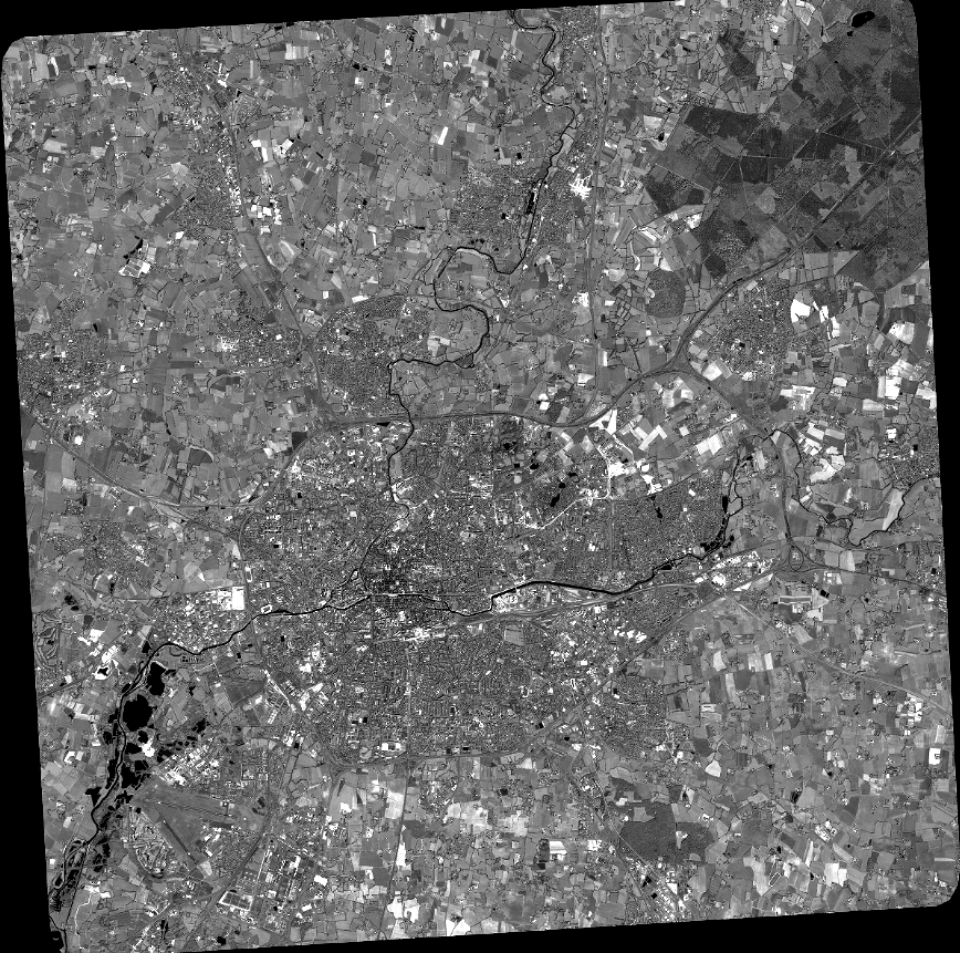
Quicklook
Copyright