TYPE:
SENSOR
LAYER:
DS_PHR1A_201907051113598_FR1_PX_W002N48_0504_01712
FORMAT:
DIMAP
RASTER:
image/jp2
General Information
Map Name
Geometric Processing Level
Radiometric Processing Level
BASIC
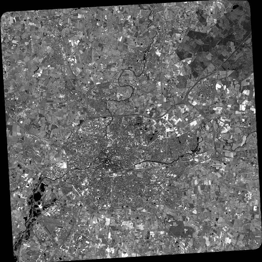
Image dimensions
Number of columns
38208
Number of rows
38088
Number of spectral bands
1
Dataset framing
Vertice
Longitude (DEG)
Latitude (DEG)
Row
Col
#1
-1.784422259252034
48.21668372411832
#2
-1.526463933673937
48.21669803606625
#3
-1.526938428507809
48.04637098729379
#4
-1.784018553557516
48.04634564214901
Dataset sources
PHR
Coordinate Reference System
Projected Coordinate System
Geocoding tables identification
EPSG(6.3)
Production
Production Date
2019-07-08T08:28:51.570
Job identification
4289053101-001
Dataset Producer Identification
AIRBUS DS GEO
Producer link
http://www.geo-airbusds.com
Quicklook
Copyright