TYPE:
SENSOR
LAYER:
DS_PHR1A_201907051114095_FR1_PX_W002N48_0504_01702
FORMAT:
DIMAP
RASTER:
image/jp2
General Information
Map Name
Geometric Processing Level
Radiometric Processing Level
BASIC
Image dimensions
Number of columns
9550
Number of rows
9466
Number of spectral bands
4
Dataset framing
Vertice
Longitude (DEG)
Latitude (DEG)
Row
Col
#1
-1.784398937822311
48.21550965662881
1
#2
-1.526547857567064
48.21561757178331
#3
-1.526942766474344
48.04631072858572
#4
-1.784015227143255
48.04628992129114
Dataset sources
PHR
Coordinate Reference System
Projected Coordinate System
Geocoding tables identification
EPSG(6.3)
Production
Production Date
2019-07-08T08:29:25.781
Job identification
4289053101-004
Dataset Producer Identification
AIRBUS DS GEO
Producer link
http://www.geo-airbusds.com
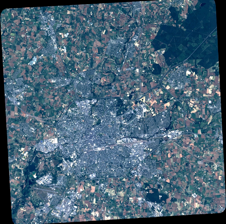
Quicklook
Copyright