TYPE:
SENSOR
LAYER:
DS_PHR1A_201907051113598_FR1_PX_W002N48_0504_01712
FORMAT:
DIMAP
RASTER:
image/jp2
General Information
Map Name
Geometric Processing Level
Radiometric Processing Level
BASIC
Image dimensions
Number of columns
9552
Number of rows
9522
Number of spectral bands
4
Dataset framing
Vertice
Longitude (DEG)
Latitude (DEG)
Row
Col
#1
-1.784405404566446
48.21667697927745
1
#2
-1.526467318473979
48.21669136652973
#3
-1.526941774450924
48.04637772037334
#4
-1.784001768717113
48.04635234927995
Dataset sources
PHR
Coordinate Reference System
Projected Coordinate System
Geocoding tables identification
EPSG(6.3)
Production
Production Date
2019-07-08T08:29:14.511
Job identification
4289053101-003
Dataset Producer Identification
AIRBUS DS GEO
Producer link
http://www.geo-airbusds.com
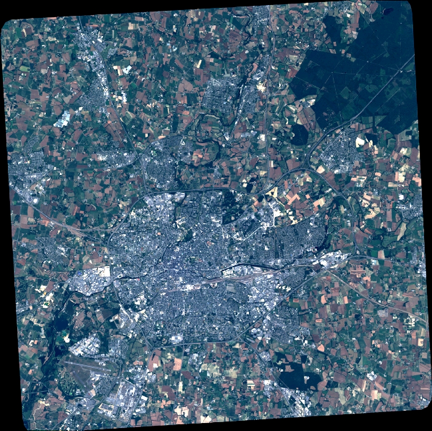
Quicklook
Copyright