TYPE:
SENSOR
LAYER:
SEN_SPOT7_20190630_055746000_000
FORMAT:
DIMAP
RASTER:
image/jp2
General Information
Map Name
Geometric Processing Level
Radiometric Processing Level
BASIC
Image dimensions
Number of columns
9646
Number of rows
10946
Number of spectral bands
4
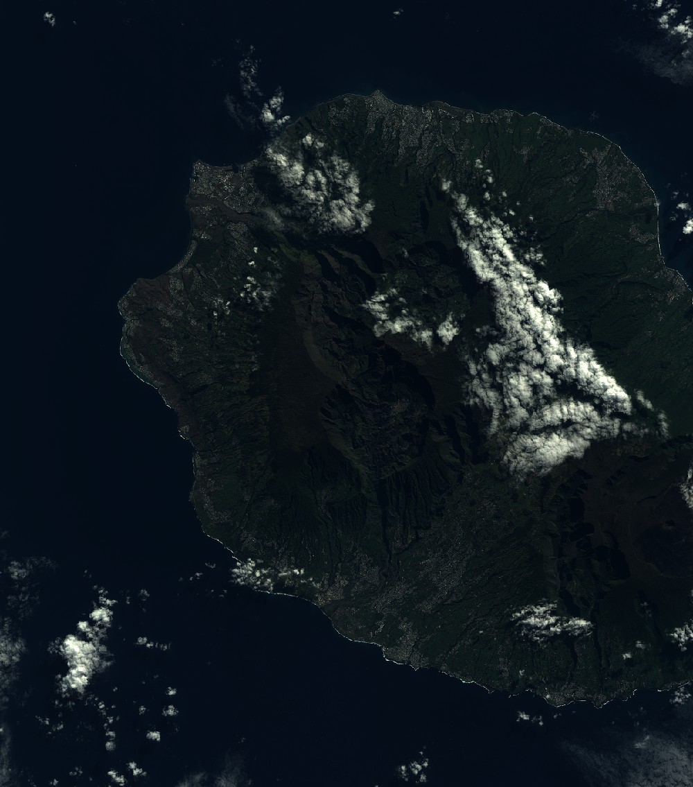
Dataset framing
Vertice
Longitude (DEG)
Latitude (DEG)
Row
Col
#1
55.1072836492
-20.7828237279
1
#2
55.7325588274
-20.8081940954
#3
55.7306891849
-21.4577226619
#4
55.1099846822
-21.4357681085
Dataset sources
SPOT
Coordinate Reference System
Projected Coordinate System
Geocoding tables identification
ITU(0.0)
Production
Production Date
2019-07-19T09:11:05.00Z
Job identification
SPOT7_20190719_0846481fjedhi4v4tqg_1
Dataset Producer Identification
"SRD GEOSUD / IRD, Irstea, IGN"
Producer link
http://geosud.teledetection.fr/
Quicklook
Copyright