TYPE:
SENSOR
LAYER:
DS_PHR1A_201906291021194_FR1_PX_E007N48_0913_01486
FORMAT:
DIMAP
RASTER:
image/jp2
General Information
Map Name
Geometric Processing Level
Radiometric Processing Level
BASIC
Image dimensions
Number of columns
34064
Number of rows
33000
Number of spectral bands
1
Dataset framing
Vertice
Longitude (DEG)
Latitude (DEG)
Row
Col
#1
7.531781756390838
48.62428883713719
#2
7.811838196460698
48.60031447541173
#3
7.811176031047133
48.42705291367125
#4
7.533107179256433
48.44931290596757
Dataset sources
PHR
Coordinate Reference System
Projected Coordinate System
Geocoding tables identification
EPSG(6.3)
Production
Production Date
2019-08-27T15:04:21.616
Job identification
4453264101-003
Dataset Producer Identification
AIRBUS DS GEO
Producer link
http://www.geo-airbusds.com
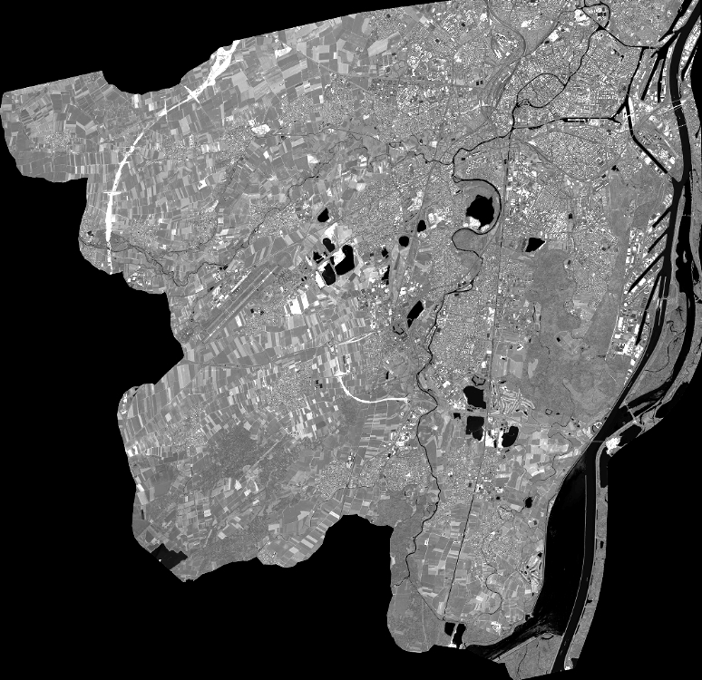
Quicklook
Copyright