TYPE:
SENSOR
LAYER:
DS_PHR1A_201906291020514_FR1_PX_E007N48_0913_01566
FORMAT:
DIMAP
RASTER:
image/jp2
General Information
Map Name
Geometric Processing Level
Radiometric Processing Level
BASIC
Image dimensions
Number of columns
34187
Number of rows
34804
Number of spectral bands
1
Dataset framing
Vertice
Longitude (DEG)
Latitude (DEG)
Row
Col
#1
7.531909095100579
48.60632118695188
#2
7.81189856875495
48.60099245589487
#3
7.811325921214894
48.43209169358605
#4
7.533091753069555
48.43553021110723
Dataset sources
PHR
Coordinate Reference System
Projected Coordinate System
Geocoding tables identification
EPSG(6.3)
Production
Production Date
2019-08-27T15:03:46.503
Job identification
4453264101-002
Dataset Producer Identification
AIRBUS DS GEO
Producer link
http://www.geo-airbusds.com
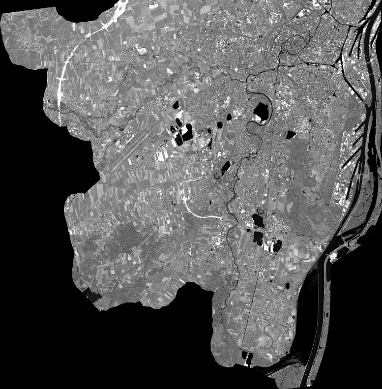
Quicklook
Copyright