TYPE:
SENSOR
LAYER:
DS_PHR1A_201906291021194_FR1_PX_E007N48_0913_01486
FORMAT:
DIMAP
RASTER:
image/jp2
General Information
Map Name
Geometric Processing Level
Radiometric Processing Level
BASIC
Image dimensions
Number of columns
8517
Number of rows
8250
Number of spectral bands
4
Dataset framing
Vertice
Longitude (DEG)
Latitude (DEG)
Row
Col
#1
7.531794224134864
48.6242799120506
1
#2
7.811858579468566
48.60030483191123
#3
7.811196342992064
48.42705912669
#4
7.533119552398954
48.44931988525907
Dataset sources
PHR
Coordinate Reference System
Projected Coordinate System
Geocoding tables identification
EPSG(6.3)
Production
Production Date
2019-08-27T15:04:57.844
Job identification
4453264101-006
Dataset Producer Identification
AIRBUS DS GEO
Producer link
http://www.geo-airbusds.com
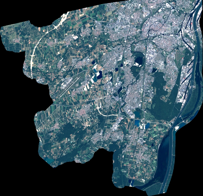
Quicklook
Copyright