TYPE:
SENSOR
LAYER:
DS_PHR1A_201906291020514_FR1_PX_E007N48_0913_01566
FORMAT:
DIMAP
RASTER:
image/jp2
General Information
Map Name
Geometric Processing Level
Radiometric Processing Level
BASIC
Image dimensions
Number of columns
8548
Number of rows
8701
Number of spectral bands
4
Dataset framing
Vertice
Longitude (DEG)
Latitude (DEG)
Row
Col
#1
7.531921730337561
48.60631359015733
1
#2
7.811927067025333
48.60098458292146
#3
7.811354321374126
48.43209857420855
#4
7.533104012772056
48.43553744218359
Dataset sources
PHR
Coordinate Reference System
Projected Coordinate System
Geocoding tables identification
EPSG(6.3)
Production
Production Date
2019-08-27T15:04:57.205
Job identification
4453264101-005
Dataset Producer Identification
AIRBUS DS GEO
Producer link
http://www.geo-airbusds.com
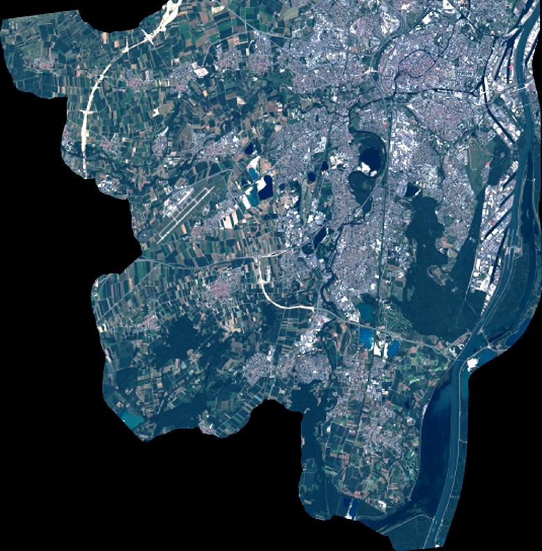
Quicklook
Copyright