TYPE:
SENSOR
LAYER:
DS_PHR1A_201906291020255_FR1_PX_E007N48_0913_01572
FORMAT:
DIMAP
RASTER:
image/jp2
General Information
Map Name
Geometric Processing Level
Radiometric Processing Level
BASIC
Image dimensions
Number of columns
8061
Number of rows
8734
Number of spectral bands
4
Dataset framing
Vertice
Longitude (DEG)
Latitude (DEG)
Row
Col
#1
7.53184151046081
48.60060992156566
1
#2
7.812050552703501
48.61589945656635
#3
7.811493488159028
48.43757737201658
#4
7.533104329359546
48.42009593432638
Dataset sources
PHR
Coordinate Reference System
Projected Coordinate System
Geocoding tables identification
EPSG(6.3)
Production
Production Date
2019-08-27T15:05:03.582
Job identification
4453264101-004
Dataset Producer Identification
AIRBUS DS GEO
Producer link
http://www.geo-airbusds.com
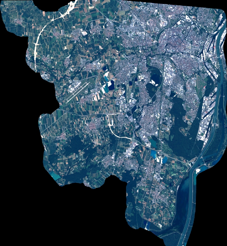
Quicklook
Copyright