TYPE:
SENSOR
LAYER:
DS_PHR1A_201906280641031_FR1_PX_E055S22_0818_01107
FORMAT:
DIMAP
RASTER:
image/jp2
General Information
Map Name
Geometric Processing Level
Radiometric Processing Level
BASIC
Image dimensions
Number of columns
14216
Number of rows
24285
Number of spectral bands
1
Dataset framing
Vertice
Longitude (DEG)
Latitude (DEG)
Row
Col
#1
55.58651228818098
-21.20653211951348
#2
55.65989176115807
-21.20364717574542
#3
55.66358301962468
-21.31925299371276
#4
55.58841312760658
-21.32306083655753
Dataset sources
PHR
Coordinate Reference System
Projected Coordinate System
Geocoding tables identification
EPSG(6.3)
Production
Production Date
2019-07-01T14:11:16.639
Job identification
4266530101-002
Dataset Producer Identification
AIRBUS DS GEO
Producer link
http://www.geo-airbusds.com
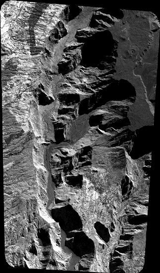
Quicklook
Copyright