TYPE:
SENSOR
LAYER:
DS_PHR1A_201906280641031_FR1_PX_E055S22_0818_01107
FORMAT:
DIMAP
RASTER:
image/jp2
General Information
Map Name
Geometric Processing Level
Radiometric Processing Level
BASIC
Image dimensions
Number of columns
3555
Number of rows
6071
Number of spectral bands
4
Dataset framing
Vertice
Longitude (DEG)
Latitude (DEG)
Row
Col
#1
55.58651990152603
-21.20654409323402
1
#2
55.65990637890125
-21.20365750726587
#3
55.66359536178441
-21.31924573143301
#4
55.58842058955901
-21.32305351811012
Dataset sources
PHR
Coordinate Reference System
Projected Coordinate System
Geocoding tables identification
EPSG(6.3)
Production
Production Date
2019-07-01T14:11:31.403
Job identification
4266530101-005
Dataset Producer Identification
AIRBUS DS GEO
Producer link
http://www.geo-airbusds.com
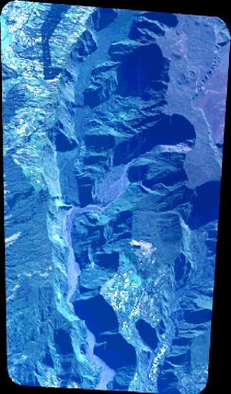
Quicklook
Copyright