TYPE:
SENSOR
LAYER:
SEN_SPOT7_20190628_104931900_000
FORMAT:
DIMAP
RASTER:
image/jp2
General Information
Map Name
Geometric Processing Level
Radiometric Processing Level
BASIC
Image dimensions
Number of columns
9652
Number of rows
9865
Number of spectral bands
4
Dataset framing
Vertice
Longitude (DEG)
Latitude (DEG)
Row
Col
#1
-2.02864477103
48.6455892479
1
#2
-1.18134543114
48.6297026619
#3
-1.18177810537
48.0471064392
#4
-2.02714216529
48.0666085687
Dataset sources
SPOT
Coordinate Reference System
Projected Coordinate System
Geocoding tables identification
ITU(0.0)
Production
Production Date
2019-07-01T10:56:16.00Z
Job identification
SPOT7_20190701_10335915fu34qit1bpd_1
Dataset Producer Identification
"SRD GEOSUD / IRD, Irstea, IGN"
Producer link
http://geosud.teledetection.fr/
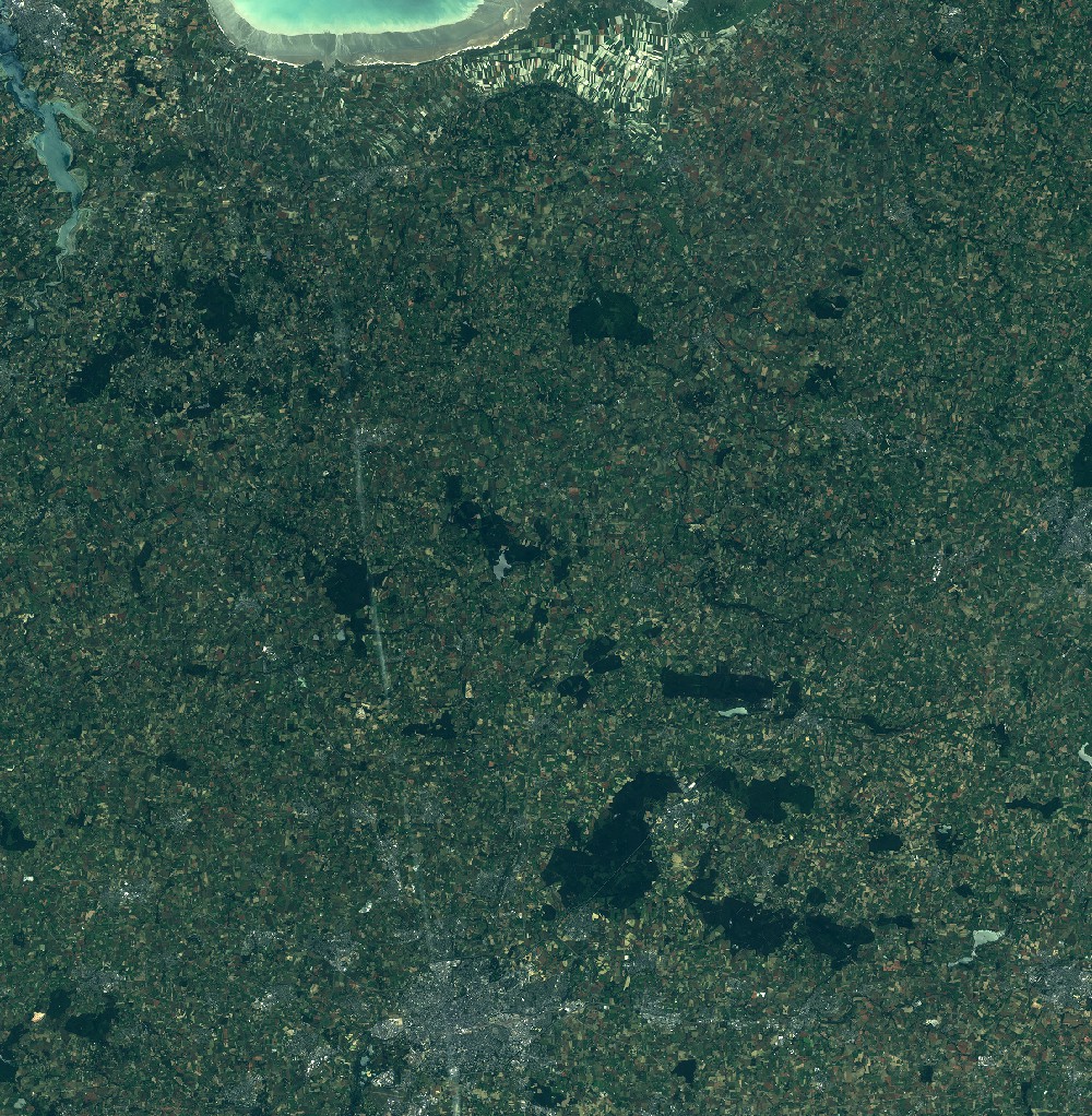
Quicklook
Copyright