TYPE:
SENSOR
LAYER:
DS_PHR1A_201906271035533_FR1_PX_E007N48_1015_01791
FORMAT:
DIMAP
RASTER:
image/jp2
General Information
Map Name
Geometric Processing Level
Radiometric Processing Level
BASIC
Image dimensions
Number of columns
39566
Number of rows
39868
Number of spectral bands
1
Dataset framing
Vertice
Longitude (DEG)
Latitude (DEG)
Row
Col
#1
7.633147020839994
48.70754459438066
#2
7.902732894868812
48.70741601991715
#3
7.902192840165326
48.52961550111136
#4
7.633656134416459
48.52962321789677
Dataset sources
PHR
Coordinate Reference System
Projected Coordinate System
Geocoding tables identification
EPSG(6.3)
Production
Production Date
2019-08-27T14:49:52.544
Job identification
4453205101-001
Dataset Producer Identification
AIRBUS DS GEO
Producer link
http://www.geo-airbusds.com
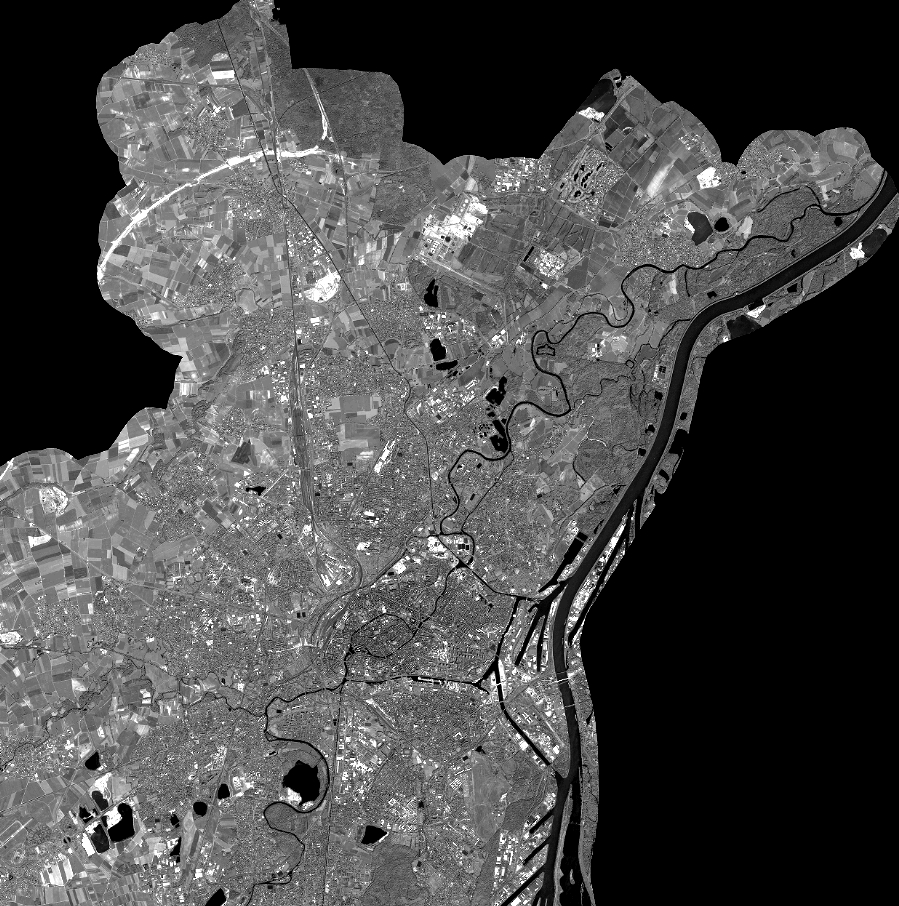
Quicklook
Copyright