TYPE:
SENSOR
LAYER:
DS_PHR1A_201906271036098_FR1_PX_E007N48_0913_01645
FORMAT:
DIMAP
RASTER:
image/jp2
General Information
Map Name
Geometric Processing Level
Radiometric Processing Level
BASIC
Image dimensions
Number of columns
9957
Number of rows
9145
Number of spectral bands
4
Dataset framing
Vertice
Longitude (DEG)
Latitude (DEG)
Row
Col
#1
7.535298655776479
48.60118045564311
1
#2
7.808577938834731
48.60165789429905
#3
7.808478701444876
48.43496774743648
#4
7.536124110033878
48.43459942679729
Dataset sources
PHR
Coordinate Reference System
Projected Coordinate System
Geocoding tables identification
EPSG(6.3)
Production
Production Date
2019-08-27T14:49:26.939
Job identification
4453204101-002
Dataset Producer Identification
AIRBUS DS GEO
Producer link
http://www.geo-airbusds.com
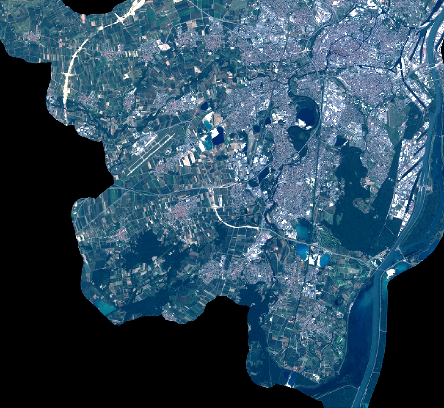
Quicklook
Copyright