TYPE:
SENSOR
LAYER:
DS_PHR1B_201906271125091_FR1_PX_W002N48_0612_01811
FORMAT:
DIMAP
RASTER:
image/jp2
General Information
Map Name
Geometric Processing Level
Radiometric Processing Level
BASIC
Image dimensions
Number of columns
37785
Number of rows
40204
Number of spectral bands
1
Dataset framing
Vertice
Longitude (DEG)
Latitude (DEG)
Row
Col
#1
-1.716521628464148
48.59660670322864
#2
-1.437633074571301
48.58845633545018
#3
-1.437819371861077
48.39660349482923
#4
-1.71693437213838
48.40622434088449
Dataset sources
PHR
Coordinate Reference System
Projected Coordinate System
Geocoding tables identification
EPSG(6.3)
Production
Production Date
2019-07-02T13:19:02.214
Job identification
4271738101-001
Dataset Producer Identification
AIRBUS DS GEO
Producer link
http://www.geo-airbusds.com
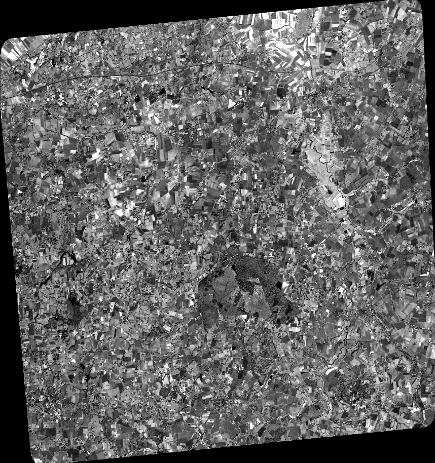
Quicklook
Copyright