TYPE:
SENSOR
LAYER:
DS_PHR1B_201906271125091_FR1_PX_W002N48_0612_01811
FORMAT:
DIMAP
RASTER:
image/jp2
General Information
Map Name
Geometric Processing Level
Radiometric Processing Level
BASIC
Image dimensions
Number of columns
9447
Number of rows
10051
Number of spectral bands
4
Dataset framing
Vertice
Longitude (DEG)
Latitude (DEG)
Row
Col
#1
-1.716503358096717
48.59659908333369
1
#2
-1.43761466539633
48.5884486648505
#3
-1.437800765466821
48.39660998045945
#4
-1.716915903684744
48.40623076720864
Dataset sources
PHR
Coordinate Reference System
Projected Coordinate System
Geocoding tables identification
EPSG(6.3)
Production
Production Date
2019-07-02T13:19:07.301
Job identification
4271738101-002
Dataset Producer Identification
AIRBUS DS GEO
Producer link
http://www.geo-airbusds.com
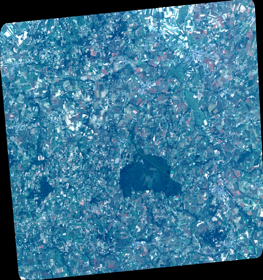
Quicklook
Copyright