TYPE:
SENSOR
LAYER:
SEN_SPOT7_20190627_100808000_000
FORMAT:
DIMAP
RASTER:
image/jp2
General Information
Map Name
Geometric Processing Level
Radiometric Processing Level
BASIC
Image dimensions
Number of columns
9652
Number of rows
10679
Number of spectral bands
4
Dataset framing
Vertice
Longitude (DEG)
Latitude (DEG)
Row
Col
#1
7.02458564952
48.6260352701
1
#2
7.84617437602
48.6269724618
#3
7.84322203519
48.0223478908
#4
7.02875226293
48.020563183
Dataset sources
SPOT
Coordinate Reference System
Projected Coordinate System
Geocoding tables identification
ITU(0.0)
Production
Production Date
2019-06-28T10:11:51.00Z
Job identification
SPOT7_20190628_0947471l9ua7mri7028_1
Dataset Producer Identification
"SRD GEOSUD / IRD, Irstea, IGN"
Producer link
http://geosud.teledetection.fr/
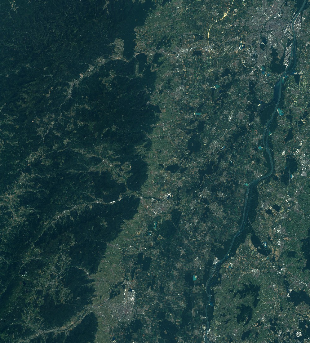
Quicklook
Copyright