TYPE:
SENSOR
LAYER:
DS_PHR1B_201906261044523_FR1_PX_E006N44_0523_01451
FORMAT:
DIMAP
RASTER:
image/jp2
General Information
Map Name
Geometric Processing Level
Radiometric Processing Level
BASIC
Image dimensions
Number of columns
6793
Number of rows
7997
Number of spectral bands
4
Dataset framing
Vertice
Longitude (DEG)
Latitude (DEG)
Row
Col
#1
6.292915111511082
45.00958291411905
1
#2
6.47949274331357
45.0154225030603
#3
6.482423647540945
44.86756415524288
#4
6.29489093281313
44.86224045768399
Dataset sources
PHR
Coordinate Reference System
Projected Coordinate System
Geocoding tables identification
EPSG(6.3)
Production
Production Date
2019-06-27T15:26:46.409
Job identification
4254428101-004
Dataset Producer Identification
AIRBUS DS GEO
Producer link
http://www.geo-airbusds.com
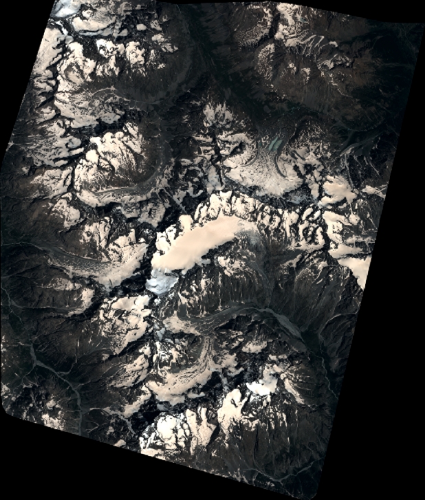
Quicklook
Copyright