TYPE:
SENSOR
LAYER:
DS_PHR1B_201906261044208_FR1_PX_E006N44_0523_01431
FORMAT:
DIMAP
RASTER:
image/jp2
General Information
Map Name
Geometric Processing Level
Radiometric Processing Level
BASIC
Image dimensions
Number of columns
6980
Number of rows
7795
Number of spectral bands
4
Dataset framing
Vertice
Longitude (DEG)
Latitude (DEG)
Row
Col
#1
6.294885488988316
45.01369687555977
1
#2
6.480312194222169
45.00861264692443
#3
6.481350055320277
44.86259862056911
#4
6.294620761423189
44.86921333435497
Dataset sources
PHR
Coordinate Reference System
Projected Coordinate System
Geocoding tables identification
EPSG(6.3)
Production
Production Date
2019-06-27T15:26:38.333
Job identification
4254428101-003
Dataset Producer Identification
AIRBUS DS GEO
Producer link
http://www.geo-airbusds.com
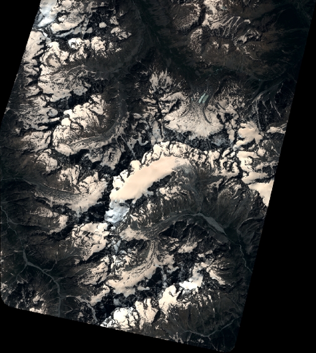
Quicklook
Copyright