TYPE:
SENSOR
LAYER:
SEN_SPOT6_20190617_055930500_000
FORMAT:
DIMAP
RASTER:
image/jp2
General Information
Map Name
Geometric Processing Level
Radiometric Processing Level
BASIC
Image dimensions
Number of columns
9648
Number of rows
9346
Number of spectral bands
4
Dataset framing
Vertice
Longitude (DEG)
Latitude (DEG)
Row
Col
#1
55.4727525031
-20.8586871075
1
#2
56.0813600247
-20.8569060221
#3
56.0802975056
-21.3945247537
#4
55.4742160416
-21.3964924293
Dataset sources
SPOT
Coordinate Reference System
Projected Coordinate System
Geocoding tables identification
ITU(0.0)
Production
Production Date
2019-07-19T09:09:25.00Z
Job identification
SPOT6_20190719_084530z6ascju84d23_1
Dataset Producer Identification
"SRD GEOSUD / IRD, Irstea, IGN"
Producer link
http://geosud.teledetection.fr/
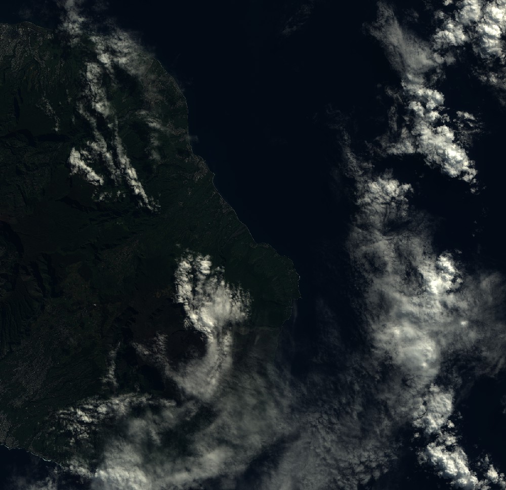
Quicklook
Copyright