TYPE:
SENSOR
LAYER:
SEN_SPOT7_20190616_060504100_000
FORMAT:
DIMAP
RASTER:
image/jp2
General Information
Map Name
Geometric Processing Level
Radiometric Processing Level
BASIC
Image dimensions
Number of columns
9652
Number of rows
11357
Number of spectral bands
4
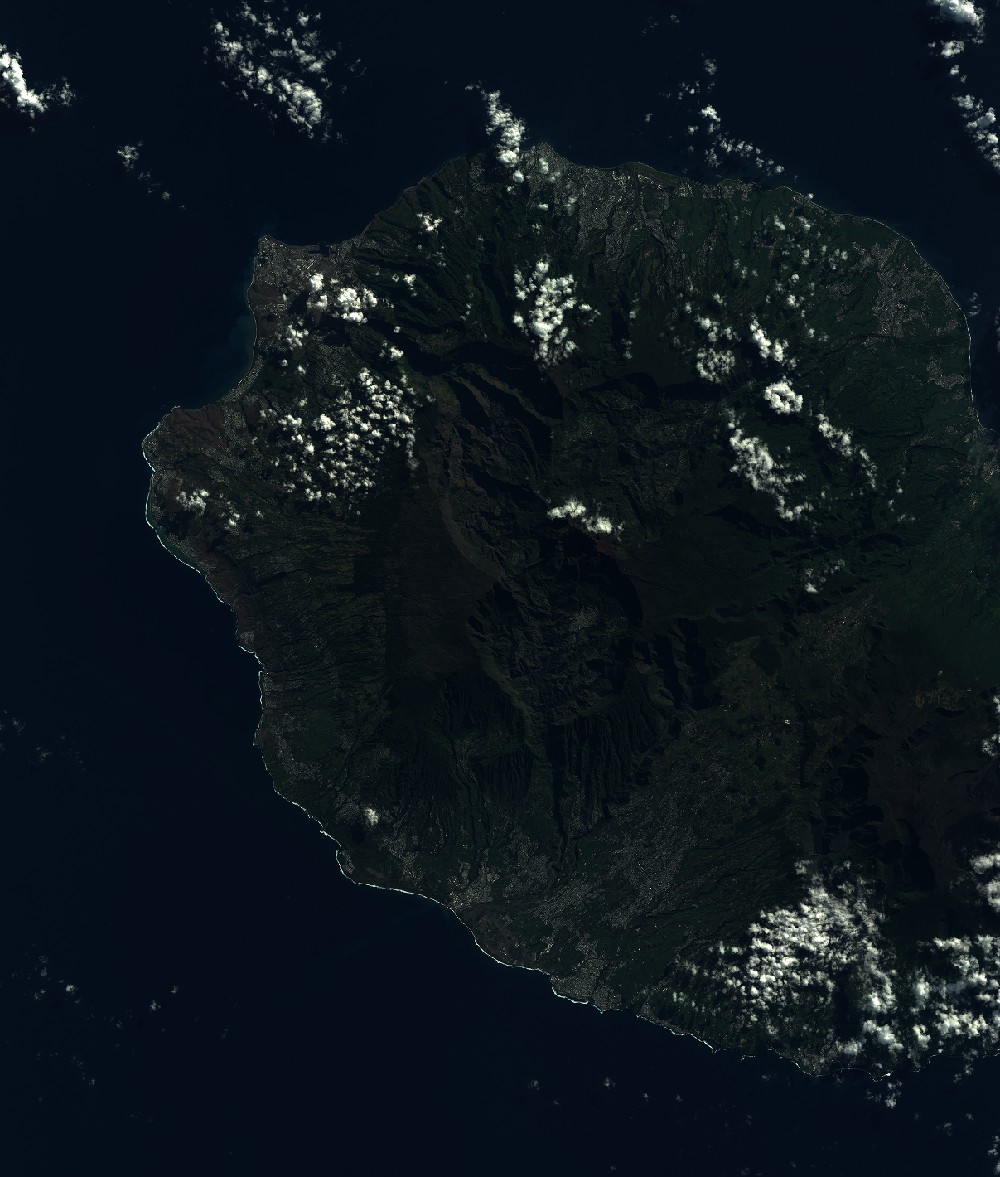
Dataset framing
Vertice
Longitude (DEG)
Latitude (DEG)
Row
Col
#1
55.1334831103
-20.7934173929
1
#2
55.7171677793
-20.7925011749
#3
55.7194565638
-21.4423151793
#4
55.1319641088
-21.4444050299
Dataset sources
SPOT
Coordinate Reference System
Projected Coordinate System
Geocoding tables identification
ITU(0.0)
Production
Production Date
2019-07-19T09:07:47.00Z
Job identification
SPOT7_20190719_0843461sfd85qk3tlaq_1
Dataset Producer Identification
"SRD GEOSUD / IRD, Irstea, IGN"
Producer link
http://geosud.teledetection.fr/
Quicklook
Copyright