TYPE:
SENSOR
LAYER:
DS_PHR1A_201906160632480_FR1_PX_E055S22_0619_01513
FORMAT:
DIMAP
RASTER:
image/jp2
General Information
Map Name
Geometric Processing Level
Radiometric Processing Level
BASIC
Image dimensions
Number of columns
39812
Number of rows
33415
Number of spectral bands
1
Dataset framing
Vertice
Longitude (DEG)
Latitude (DEG)
Row
Col
#1
55.34513308388446
-21.24315793396004
#2
55.54383020141056
-21.23918019216363
#3
55.54268862493942
-21.39357280855569
#4
55.34492367004486
-21.39730562452102
Dataset sources
PHR
Coordinate Reference System
Projected Coordinate System
Geocoding tables identification
EPSG(6.3)
Production
Production Date
2019-06-19T09:39:49.811
Job identification
4234364101-001
Dataset Producer Identification
AIRBUS DS GEO
Producer link
http://www.geo-airbusds.com
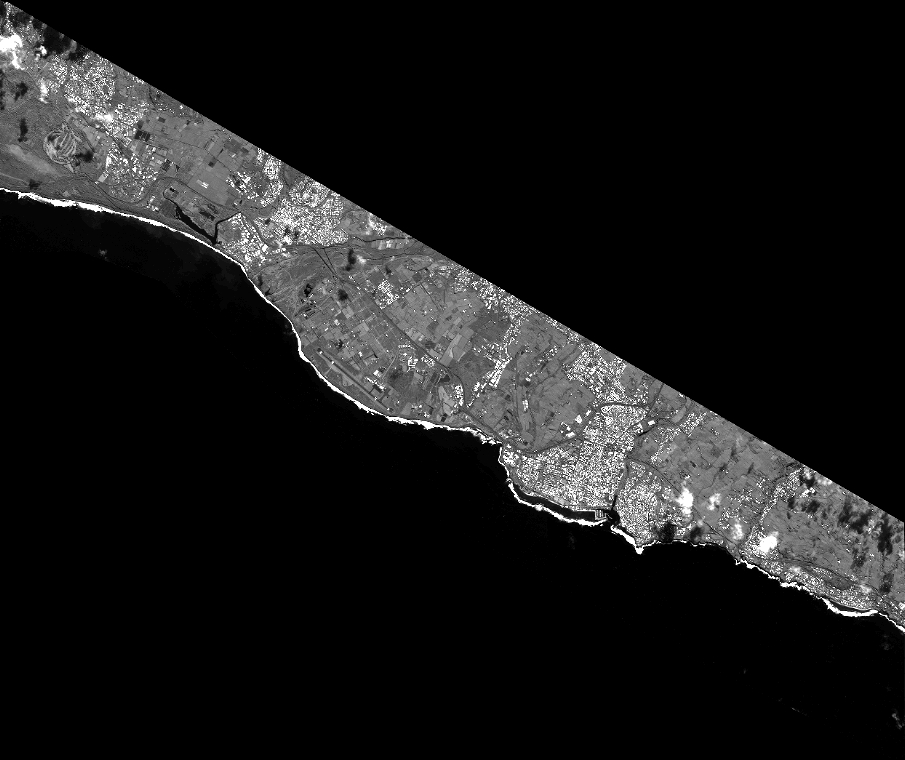
Quicklook
Copyright