TYPE:
SENSOR
LAYER:
DS_PHR1B_201906150640284_FR1_PX_E055S22_0421_02807
FORMAT:
DIMAP
RASTER:
image/jp2
General Information
Map Name
Geometric Processing Level
Radiometric Processing Level
BASIC
Image dimensions
Number of columns
36436
Number of rows
62303
Number of spectral bands
1
Dataset framing
Vertice
Longitude (DEG)
Latitude (DEG)
Row
Col
#1
55.19479711760957
-21.00610738632005
#2
55.3740159823993
-21.00759160456173
#3
55.37613691986481
-21.29835493295538
#4
55.19438462697527
-21.29421166141448
Dataset sources
PHR
Coordinate Reference System
Projected Coordinate System
Geocoding tables identification
EPSG(6.3)
Production
Production Date
2019-06-19T08:59:23.107
Job identification
4234154101-001
Dataset Producer Identification
AIRBUS DS GEO
Producer link
http://www.geo-airbusds.com
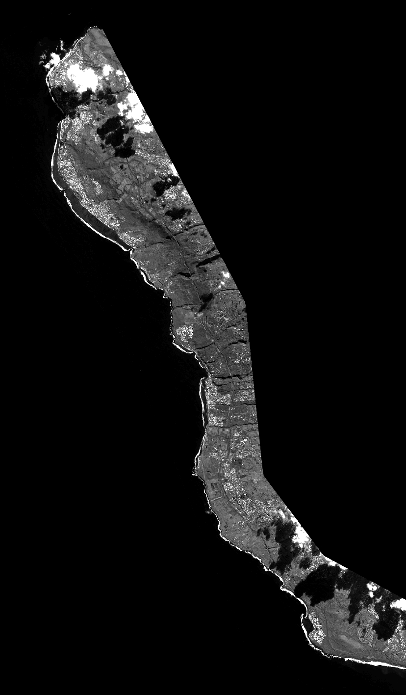
Quicklook
Copyright