TYPE:
SENSOR
LAYER:
DS_PHR1B_201906071040166_FR1_PX_E007N48_0310_03217
FORMAT:
DIMAP
RASTER:
image/jp2
General Information
Map Name
Geometric Processing Level
Radiometric Processing Level
BASIC
Image dimensions
Number of columns
38076
Number of rows
71710
Number of spectral bands
1
Dataset framing
Vertice
Longitude (DEG)
Latitude (DEG)
Row
Col
#1
7.0889196536083
48.55432013085576
#2
7.358972485098472
48.56108055824497
#3
7.358281521763854
48.2163377140924
#4
7.089210509525434
48.21013455689727
Dataset sources
PHR
Coordinate Reference System
Projected Coordinate System
Geocoding tables identification
EPSG(6.3)
Production
Production Date
2019-06-11T13:13:50.821
Job identification
4213062101-002
Dataset Producer Identification
AIRBUS DS GEO
Producer link
http://www.geo-airbusds.com
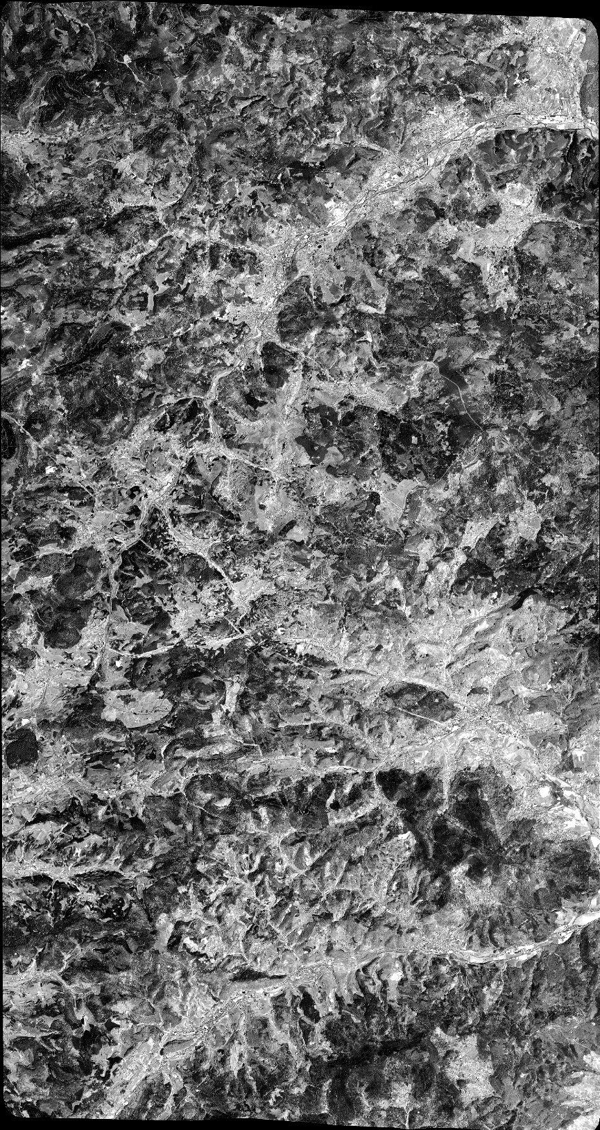
Quicklook
Copyright