TYPE:
SENSOR
LAYER:
DS_PHR1B_201906071039551_FR1_PX_E007N48_0310_03383
FORMAT:
DIMAP
RASTER:
image/jp2
General Information
Map Name
Geometric Processing Level
Radiometric Processing Level
BASIC
Image dimensions
Number of columns
39661
Number of rows
75592
Number of spectral bands
1
Dataset framing
Vertice
Longitude (DEG)
Latitude (DEG)
Row
Col
#1
7.088962986086425
48.55319199465266
#2
7.358945878245611
48.55406305071735
#3
7.358303874667562
48.2155351752896
#4
7.089604714764056
48.21509680690502
Dataset sources
PHR
Coordinate Reference System
Projected Coordinate System
Geocoding tables identification
EPSG(6.3)
Production
Production Date
2019-06-11T13:14:03.671
Job identification
4213062101-003
Dataset Producer Identification
AIRBUS DS GEO
Producer link
http://www.geo-airbusds.com
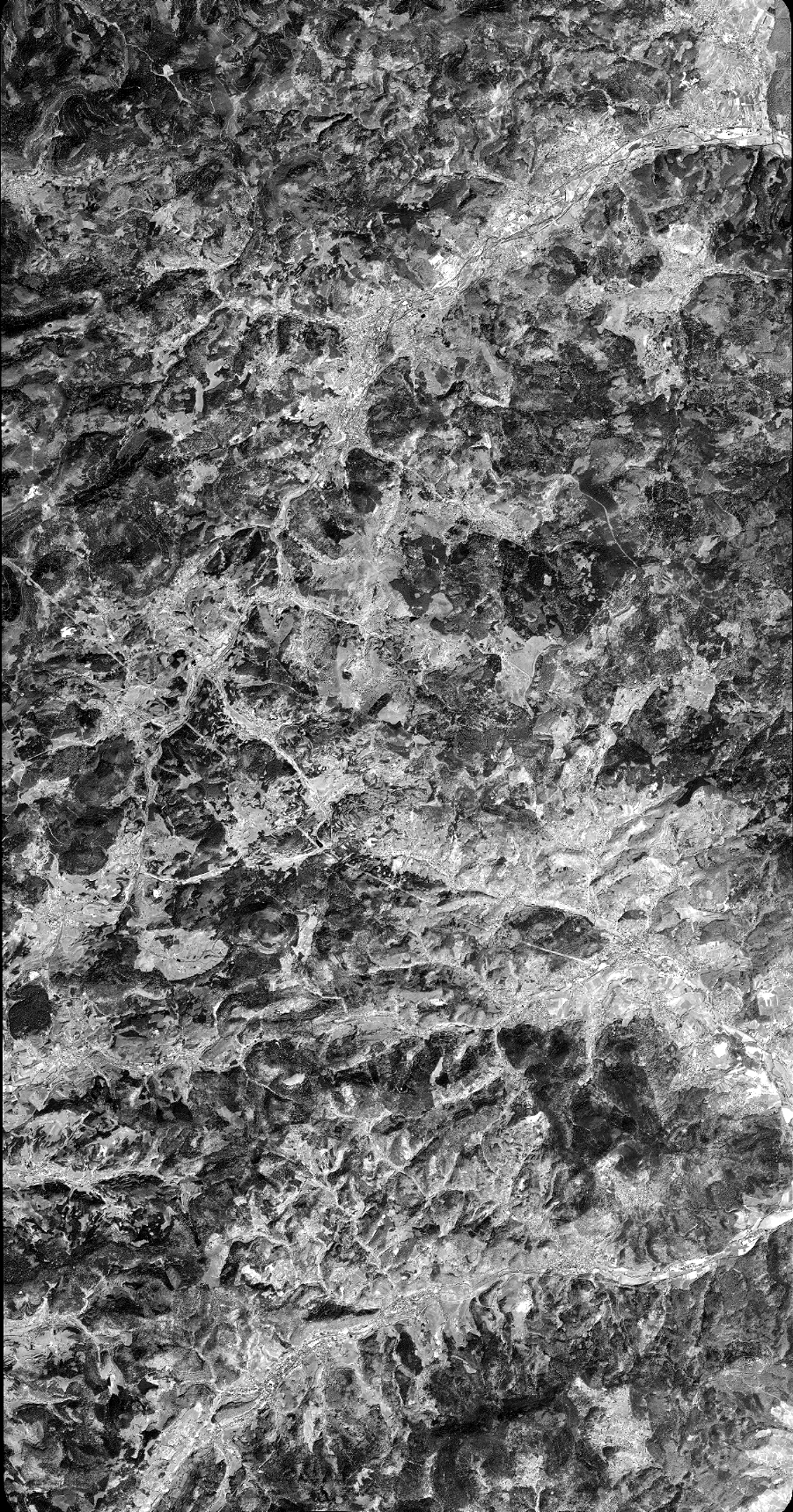
Quicklook
Copyright