TYPE:
SENSOR
LAYER:
DS_PHR1B_201906071039221_FR1_PX_E007N48_0310_03160
FORMAT:
DIMAP
RASTER:
image/jp2
General Information
Map Name
Geometric Processing Level
Radiometric Processing Level
BASIC
Image dimensions
Number of columns
38315
Number of rows
70572
Number of spectral bands
1
Dataset framing
Vertice
Longitude (DEG)
Latitude (DEG)
Row
Col
#1
7.0889836273781
48.55415610878444
#2
7.359070294677385
48.55539335910854
#3
7.358359413509929
48.21480048231857
#4
7.090026111938443
48.21345521614852
Dataset sources
PHR
Coordinate Reference System
Projected Coordinate System
Geocoding tables identification
EPSG(6.3)
Production
Production Date
2019-06-11T13:13:32.965
Job identification
4213062101-001
Dataset Producer Identification
AIRBUS DS GEO
Producer link
http://www.geo-airbusds.com
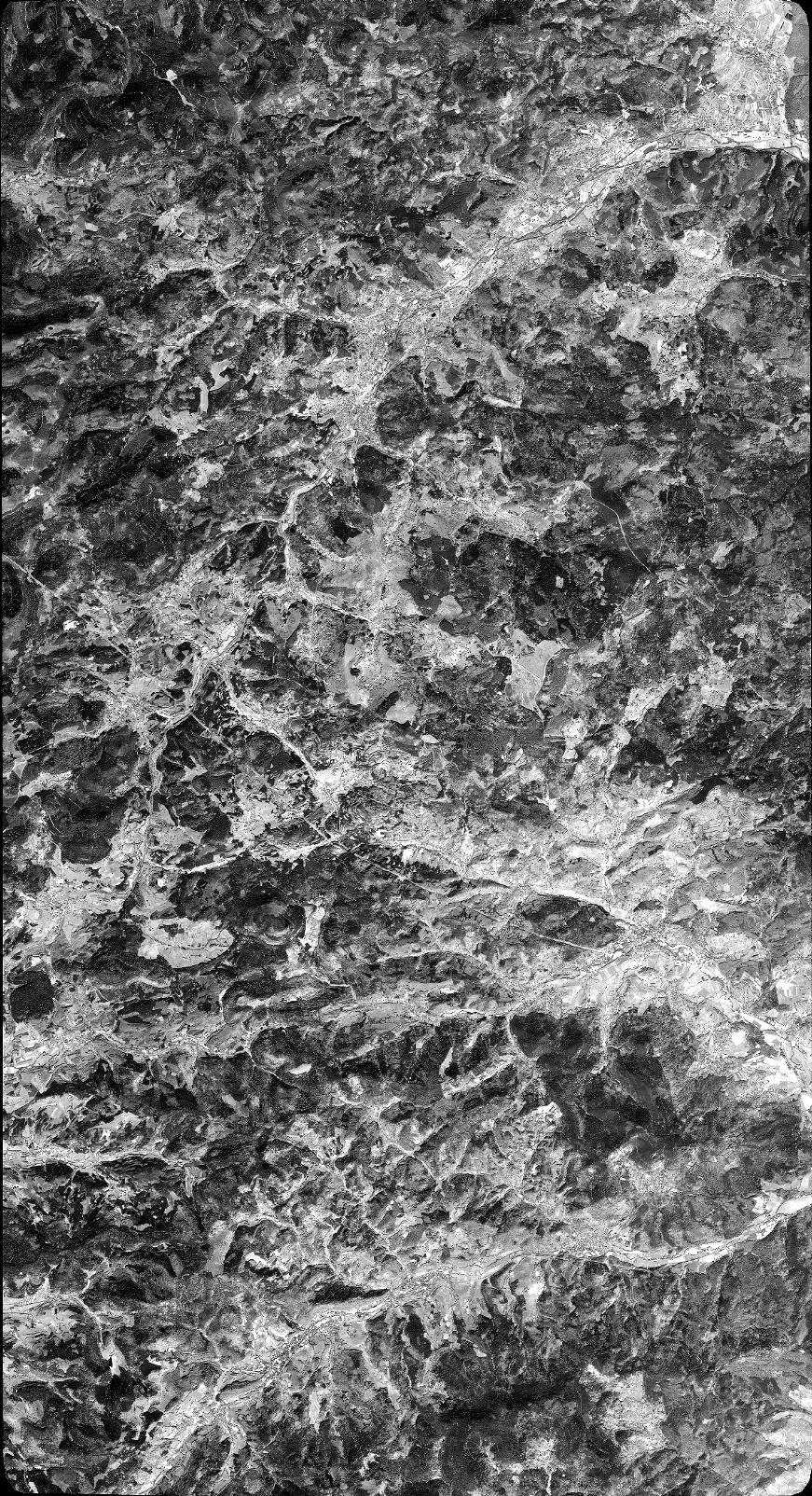
Quicklook
Copyright