TYPE:
SENSOR
LAYER:
DS_PHR1B_201906071040166_FR1_PX_E007N48_0310_03217
FORMAT:
DIMAP
RASTER:
image/jp2
General Information
Map Name
Geometric Processing Level
Radiometric Processing Level
BASIC
Image dimensions
Number of columns
9520
Number of rows
17928
Number of spectral bands
4
Dataset framing
Vertice
Longitude (DEG)
Latitude (DEG)
Row
Col
#1
7.088936574546982
48.55432156993308
1
#2
7.358997389956814
48.56108365237745
#3
7.358306943562397
48.21634625733231
#4
7.08922899978691
48.21014376016876
Dataset sources
PHR
Coordinate Reference System
Projected Coordinate System
Geocoding tables identification
EPSG(6.3)
Production
Production Date
2019-06-11T13:12:38.851
Job identification
4213062101-005
Dataset Producer Identification
AIRBUS DS GEO
Producer link
http://www.geo-airbusds.com
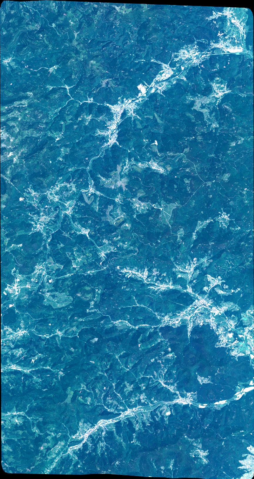
Quicklook
Copyright