TYPE:
SENSOR
LAYER:
DS_PHR1B_201906071039551_FR1_PX_E007N48_0310_03383
FORMAT:
DIMAP
RASTER:
image/jp2
General Information
Map Name
Geometric Processing Level
Radiometric Processing Level
BASIC
Image dimensions
Number of columns
9916
Number of rows
18898
Number of spectral bands
4
Dataset framing
Vertice
Longitude (DEG)
Latitude (DEG)
Row
Col
#1
7.088959732626333
48.55318540730985
1
#2
7.358942451053451
48.55405631455203
#3
7.358300481239125
48.2155418790698
#4
7.089601265087578
48.21510343960712
Dataset sources
PHR
Coordinate Reference System
Projected Coordinate System
Geocoding tables identification
EPSG(6.3)
Production
Production Date
2019-06-11T13:13:46.435
Job identification
4213062101-006
Dataset Producer Identification
AIRBUS DS GEO
Producer link
http://www.geo-airbusds.com
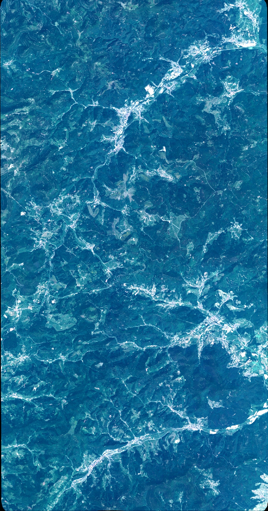
Quicklook
Copyright