TYPE:
SENSOR
LAYER:
SEN_SPOT7_20190604_055728800_000
FORMAT:
DIMAP
RASTER:
image/jp2
General Information
Map Name
Geometric Processing Level
Radiometric Processing Level
BASIC
Image dimensions
Number of columns
9647
Number of rows
10809
Number of spectral bands
4
Dataset framing
Vertice
Longitude (DEG)
Latitude (DEG)
Row
Col
#1
55.1073663928
-20.7797673849
1
#2
55.7329848121
-20.8102211257
#3
55.7312607952
-21.4589598782
#4
55.1100675888
-21.4326342198
Dataset sources
SPOT
Coordinate Reference System
Projected Coordinate System
Geocoding tables identification
ITU(0.0)
Production
Production Date
2019-07-19T09:06:31.00Z
Job identification
SPOT7_20190719_0839101medt77mz53gb_1
Dataset Producer Identification
"SRD GEOSUD / IRD, Irstea, IGN"
Producer link
http://geosud.teledetection.fr/
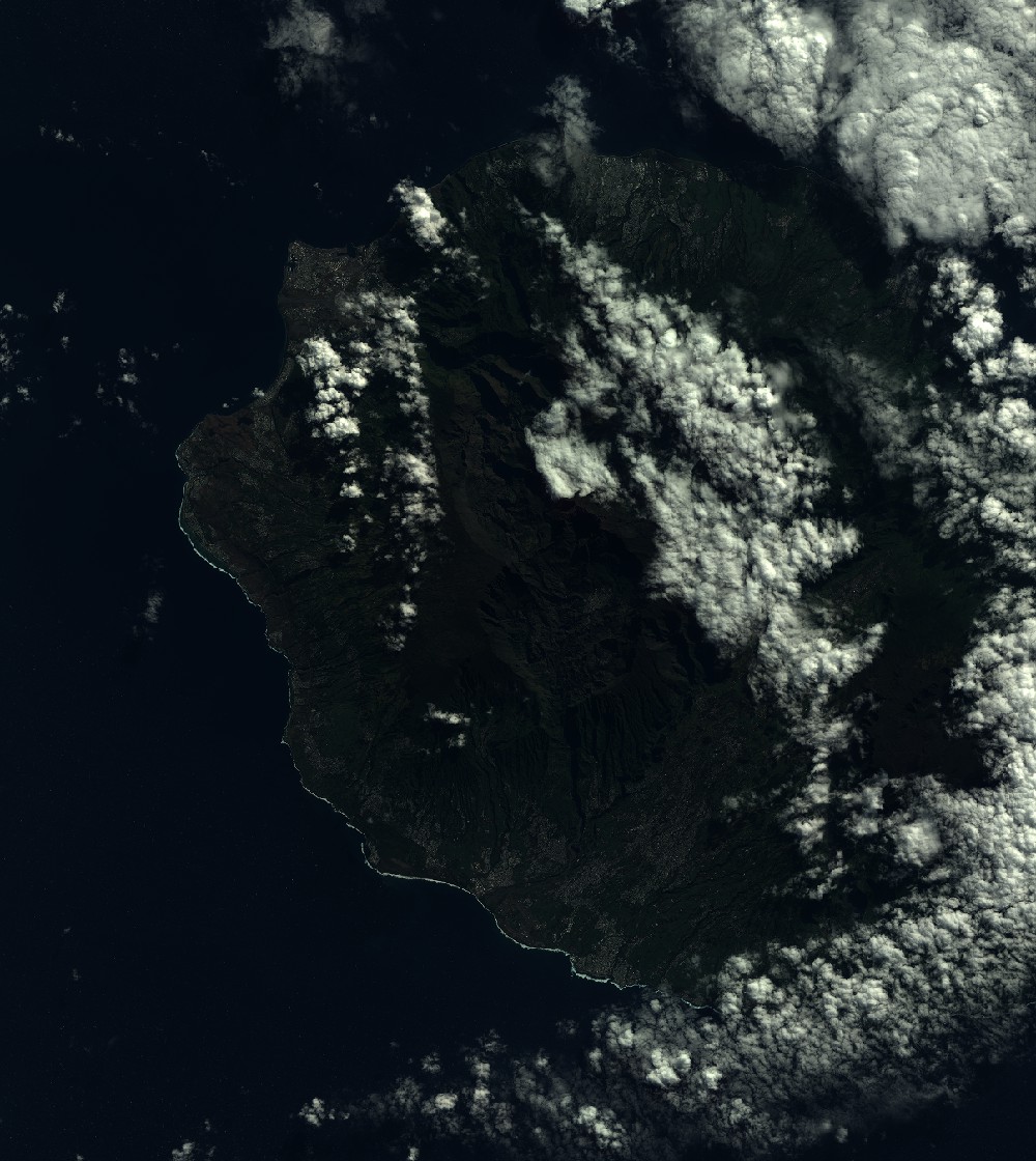
Quicklook
Copyright