TYPE:
SENSOR
LAYER:
SEN_SPOT6_20190603_060707800_000
FORMAT:
DIMAP
RASTER:
image/jp2
General Information
Map Name
Geometric Processing Level
Radiometric Processing Level
BASIC
Image dimensions
Number of columns
9652
Number of rows
11391
Number of spectral bands
4
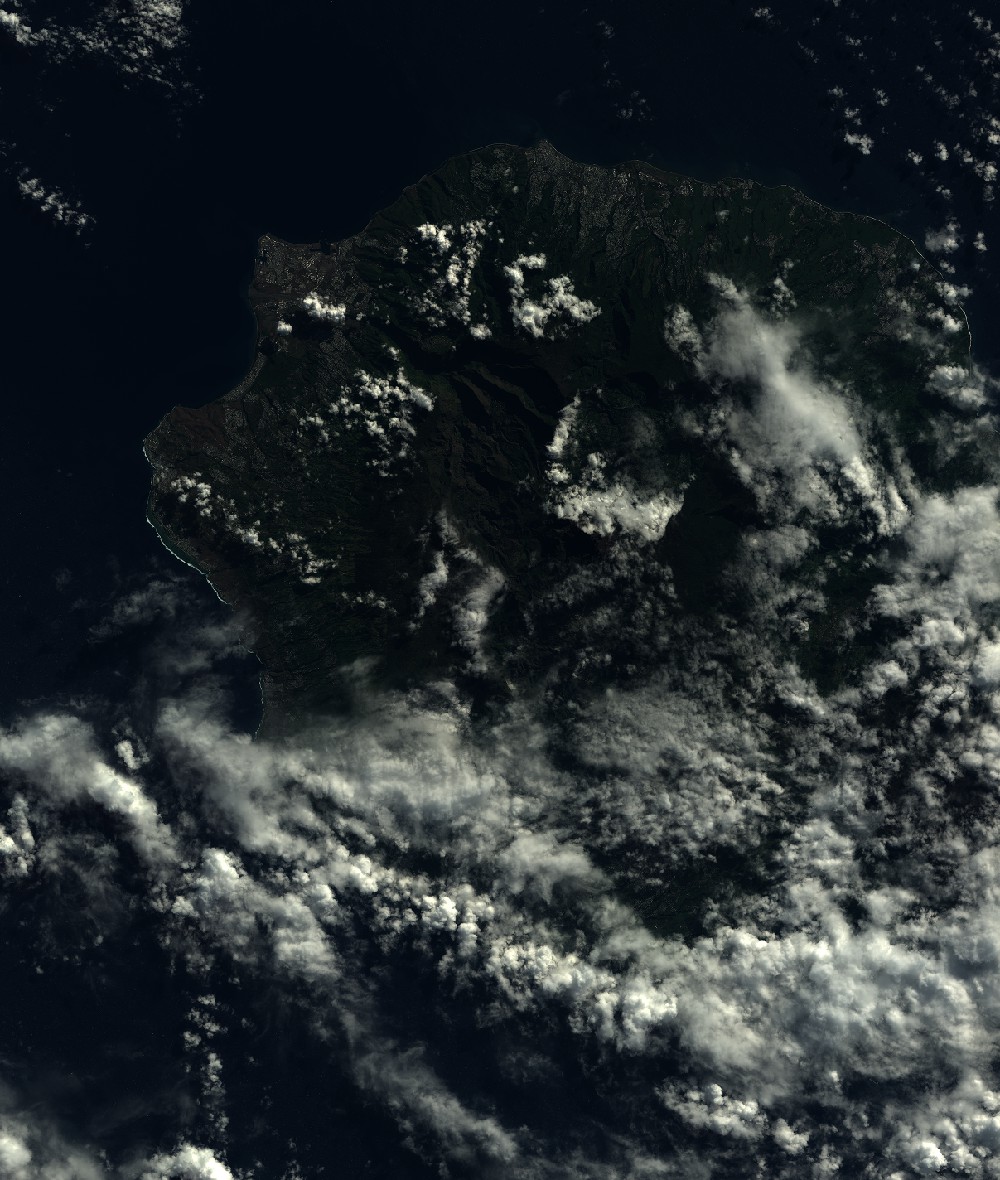
Dataset framing
Vertice
Longitude (DEG)
Latitude (DEG)
Row
Col
#1
55.1331296005
-20.7952423408
1
#2
55.7170739124
-20.7938109163
#3
55.7195152931
-21.4428200701
#4
55.1313649262
-21.4452814822
Dataset sources
SPOT
Coordinate Reference System
Projected Coordinate System
Geocoding tables identification
ITU(0.0)
Production
Production Date
2019-07-19T09:07:56.00Z
Job identification
SPOT6_20190719_08381110zzyhyxe3v5s_1
Dataset Producer Identification
"SRD GEOSUD / IRD, Irstea, IGN"
Producer link
http://geosud.teledetection.fr/
Quicklook
Copyright