TYPE:
SENSOR
LAYER:
DS_PHR1B_201905200640501_FR1_PX_E055S22_0818_01033
FORMAT:
DIMAP
RASTER:
image/jp2
General Information
Map Name
Geometric Processing Level
Radiometric Processing Level
BASIC
Image dimensions
Number of columns
3311
Number of rows
5673
Number of spectral bands
4
Dataset framing
Vertice
Longitude (DEG)
Latitude (DEG)
Row
Col
#1
55.58950009458753
-21.29334602721149
1
#2
55.65749016237635
-21.2925046269718
#3
55.66040879514576
-21.39693325789638
#4
55.59236190927747
-21.39748714579931
Dataset sources
PHR
Coordinate Reference System
Projected Coordinate System
Geocoding tables identification
EPSG(6.3)
Production
Production Date
2019-07-01T14:11:05.236
Job identification
4266529101-005
Dataset Producer Identification
AIRBUS DS GEO
Producer link
http://www.geo-airbusds.com
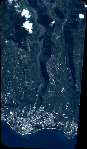
Quicklook
Copyright