TYPE:
SENSOR
LAYER:
DS_PHR1A_201905131032494_FR1_PX_E006N45_1123_02397
FORMAT:
DIMAP
RASTER:
image/jp2
General Information
Map Name
Geometric Processing Level
Radiometric Processing Level
BASIC
Image dimensions
Number of columns
40000
Number of rows
52724
Number of spectral bands
1
Dataset framing
Vertice
Longitude (DEG)
Latitude (DEG)
Row
Col
#1
6.780285591273791
46.05671747685157
#2
7.045568754943814
46.05152497275659
#3
7.045189937025238
45.80935952640263
#4
6.784620410319458
45.81056835086627
Dataset sources
PHR
Coordinate Reference System
Projected Coordinate System
Geocoding tables identification
EPSG(6.3)
Production
Production Date
2019-05-14T13:39:46.387
Job identification
4108387101-002
Dataset Producer Identification
AIRBUS DS GEO
Producer link
http://www.geo-airbusds.com
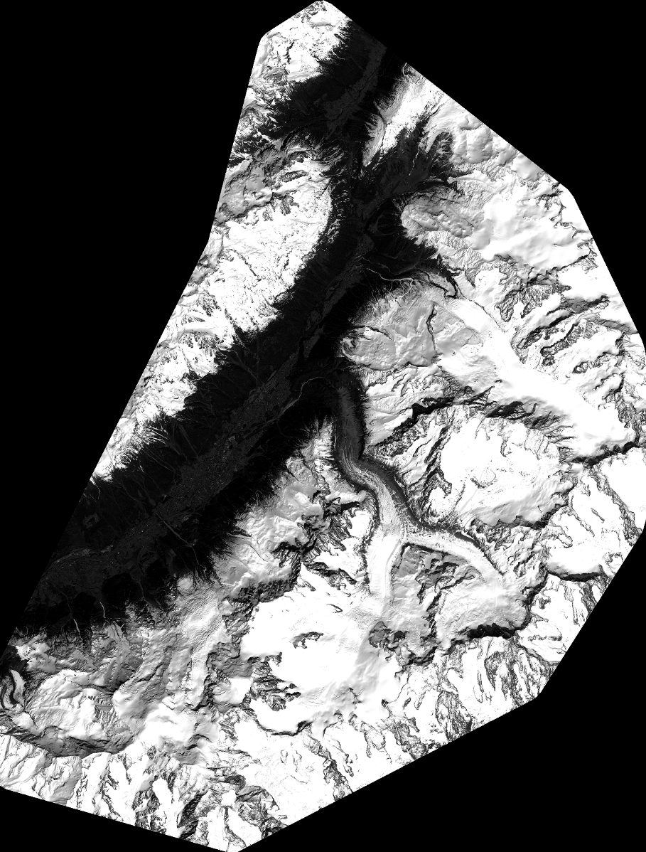
Quicklook
Copyright