TYPE:
SENSOR
LAYER:
DS_PHR1A_201905131032213_FR1_PX_E006N45_1123_02404
FORMAT:
DIMAP
RASTER:
image/jp2
General Information
Map Name
Geometric Processing Level
Radiometric Processing Level
BASIC
Image dimensions
Number of columns
39776
Number of rows
53366
Number of spectral bands
1
Dataset framing
Vertice
Longitude (DEG)
Latitude (DEG)
Row
Col
#1
6.778050878560927
46.0498926409928
#2
7.045328218814945
46.05399019132123
#3
7.04562097858575
45.8122024571014
#4
6.784473658818899
45.80900910035896
Dataset sources
PHR
Coordinate Reference System
Projected Coordinate System
Geocoding tables identification
EPSG(6.3)
Production
Production Date
2019-05-14T13:39:37.243
Job identification
4108387101-001
Dataset Producer Identification
AIRBUS DS GEO
Producer link
http://www.geo-airbusds.com
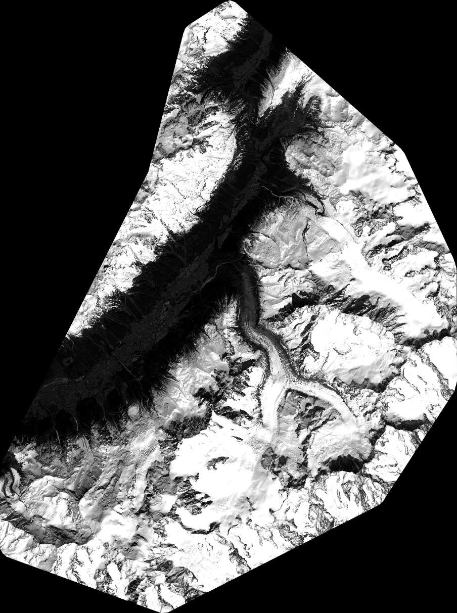
Quicklook
Copyright