TYPE:
SENSOR
LAYER:
DS_PHR1A_201905131032494_FR1_PX_E006N45_1123_02397
FORMAT:
DIMAP
RASTER:
image/jp2
General Information
Map Name
Geometric Processing Level
Radiometric Processing Level
BASIC
Image dimensions
Number of columns
10000
Number of rows
13181
Number of spectral bands
4
Dataset framing
Vertice
Longitude (DEG)
Latitude (DEG)
Row
Col
#1
6.780294717373828
46.05670683159311
1
#2
7.045559387916995
46.05151271324616
#3
7.045180179499367
45.80936180972075
#4
6.784630797913773
45.81056978151193
Dataset sources
PHR
Coordinate Reference System
Projected Coordinate System
Geocoding tables identification
EPSG(6.3)
Production
Production Date
2019-05-14T13:39:28.570
Job identification
4108387101-004
Dataset Producer Identification
AIRBUS DS GEO
Producer link
http://www.geo-airbusds.com
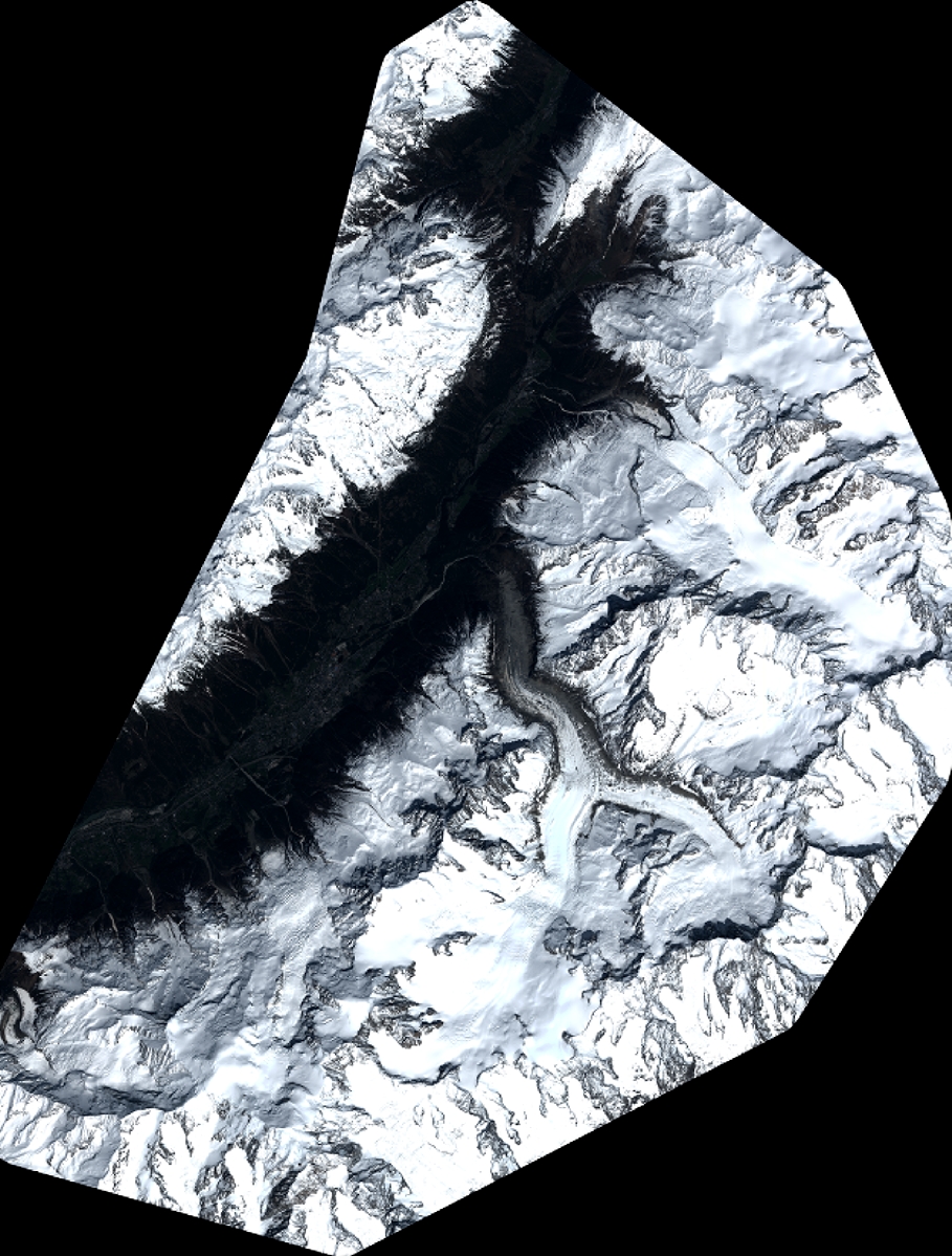
Quicklook
Copyright