TYPE:
SENSOR
LAYER:
DS_PHR1A_201905131033091_FR1_PX_E006N45_0203_01664
FORMAT:
DIMAP
RASTER:
image/jp2
General Information
Map Name
Geometric Processing Level
Radiometric Processing Level
BASIC
Image dimensions
Number of columns
25758
Number of rows
36422
Number of spectral bands
1
Dataset framing
Vertice
Longitude (DEG)
Latitude (DEG)
Row
Col
#1
6.033699420497923
45.19741766566501
#2
6.204807430552761
45.19277808124719
#3
6.205628270016487
45.0201568012249
#4
6.034591170521318
45.02553160789324
Dataset sources
PHR
Coordinate Reference System
Projected Coordinate System
Geocoding tables identification
EPSG(6.3)
Production
Production Date
2019-05-14T13:39:38.236
Job identification
4108388101-002
Dataset Producer Identification
AIRBUS DS GEO
Producer link
http://www.geo-airbusds.com
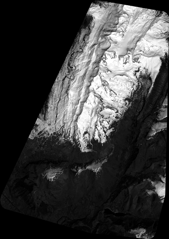
Quicklook
Copyright