TYPE:
SENSOR
LAYER:
DS_PHR1A_201905131032366_FR1_PX_E006N45_0203_01713
FORMAT:
DIMAP
RASTER:
image/jp2
General Information
Map Name
Geometric Processing Level
Radiometric Processing Level
BASIC
Image dimensions
Number of columns
25262
Number of rows
37882
Number of spectral bands
1
Dataset framing
Vertice
Longitude (DEG)
Latitude (DEG)
Row
Col
#1
6.034170647395603
45.1924764680356
#2
6.204653024528796
45.19550072335656
#3
6.205623927043773
45.0224160903402
#4
6.035532219146877
45.0184493993951
Dataset sources
PHR
Coordinate Reference System
Projected Coordinate System
Geocoding tables identification
EPSG(6.3)
Production
Production Date
2019-05-14T13:39:29.790
Job identification
4108388101-001
Dataset Producer Identification
AIRBUS DS GEO
Producer link
http://www.geo-airbusds.com
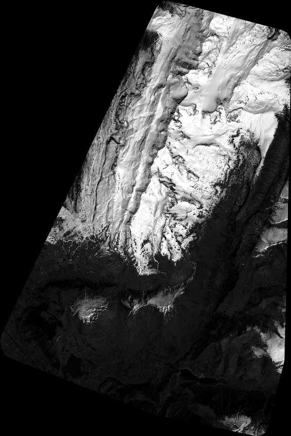
Quicklook
Copyright