TYPE:
SENSOR
LAYER:
DS_PHR1A_201905131032366_FR1_PX_E006N45_0203_01713
FORMAT:
DIMAP
RASTER:
image/jp2
General Information
Map Name
Geometric Processing Level
Radiometric Processing Level
BASIC
Image dimensions
Number of columns
6316
Number of rows
9471
Number of spectral bands
4
Dataset framing
Vertice
Longitude (DEG)
Latitude (DEG)
Row
Col
#1
6.034190352676475
45.19246858714677
1
#2
6.204669201863148
45.19549390093351
#3
6.2056385016981
45.02241330412674
#4
6.035554295340592
45.01844707210043
Dataset sources
PHR
Coordinate Reference System
Projected Coordinate System
Geocoding tables identification
EPSG(6.3)
Production
Production Date
2019-05-14T13:39:39.789
Job identification
4108388101-003
Dataset Producer Identification
AIRBUS DS GEO
Producer link
http://www.geo-airbusds.com
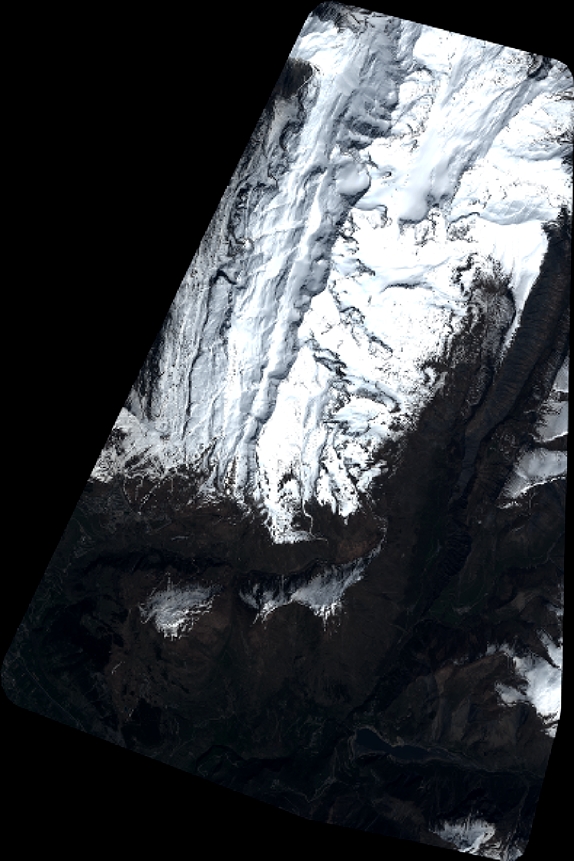
Quicklook
Copyright