TYPE:
SENSOR
LAYER:
SEN_SPOT6_20190507_100258900_000
FORMAT:
DIMAP
RASTER:
image/jp2
General Information
Map Name
Geometric Processing Level
Radiometric Processing Level
BASIC
Image dimensions
Number of columns
38609
Number of rows
37925
Number of spectral bands
1
Dataset framing
Vertice
Longitude (DEG)
Latitude (DEG)
Row
Col
#1
5.75852410329
45.338200686
#2
6.54984071669
45.3364687267
#3
6.54388260308
44.7999205121
#4
5.76547477012
44.8013127503
Dataset sources
SPOT
Coordinate Reference System
Projected Coordinate System
Geocoding tables identification
ITU(0.0)
Production
Production Date
2019-05-20T08:50:18.00Z
Job identification
SPOT6_20190520_0827281op84p9ovux9i_1
Dataset Producer Identification
"SRD GEOSUD / IRD, Irstea, IGN"
Producer link
http://geosud.teledetection.fr/
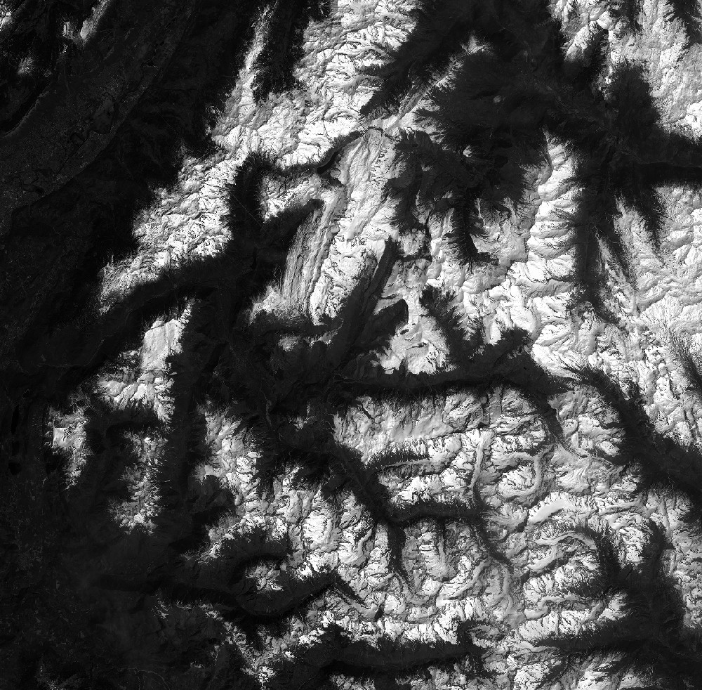
Quicklook
Copyright