TYPE:
SENSOR
LAYER:
DS_PHR1B_201905071029373_FR1_PX_E006N45_0503_01772
FORMAT:
DIMAP
RASTER:
image/jp2
General Information
Map Name
Geometric Processing Level
Radiometric Processing Level
BASIC
Image dimensions
Number of columns
29242
Number of rows
39038
Number of spectral bands
1
Dataset framing
Vertice
Longitude (DEG)
Latitude (DEG)
Row
Col
#1
6.306573354333383
45.17605178088875
#2
6.503523267509057
45.1701897649772
#3
6.502599503345126
44.98770952661181
#4
6.309550164475772
44.99102132275416
Dataset sources
PHR
Coordinate Reference System
Projected Coordinate System
Geocoding tables identification
EPSG(6.3)
Production
Production Date
2019-05-13T14:12:23.385
Job identification
4103575101-002
Dataset Producer Identification
AIRBUS DS GEO
Producer link
http://www.geo-airbusds.com
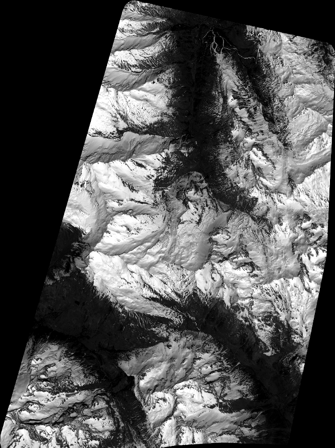
Quicklook
Copyright