TYPE:
SENSOR
LAYER:
DS_PHR1B_201905071029088_FR1_PX_E006N45_0502_01781
FORMAT:
DIMAP
RASTER:
image/jp2
General Information
Map Name
Geometric Processing Level
Radiometric Processing Level
BASIC
Image dimensions
Number of columns
28788
Number of rows
39528
Number of spectral bands
1
Dataset framing
Vertice
Longitude (DEG)
Latitude (DEG)
Row
Col
#1
6.306358021965288
45.17158235861056
#2
6.503633869413195
45.17482133705758
#3
6.503086634240749
44.99158301532201
#4
6.309557167617485
44.98792366562859
Dataset sources
PHR
Coordinate Reference System
Projected Coordinate System
Geocoding tables identification
EPSG(6.3)
Production
Production Date
2019-05-13T14:12:39.985
Job identification
4103575101-001
Dataset Producer Identification
AIRBUS DS GEO
Producer link
http://www.geo-airbusds.com
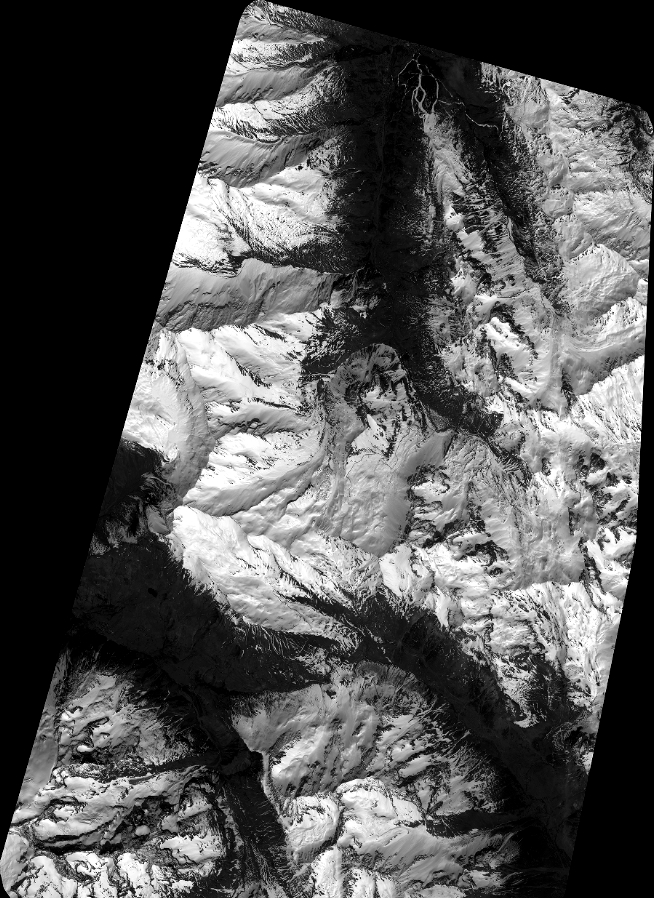
Quicklook
Copyright