TYPE:
SENSOR
LAYER:
DS_PHR1B_201905071029088_FR1_PX_E006N45_0502_01781
FORMAT:
DIMAP
RASTER:
image/jp2
General Information
Map Name
Geometric Processing Level
Radiometric Processing Level
BASIC
Image dimensions
Number of columns
7198
Number of rows
9882
Number of spectral bands
4
Dataset framing
Vertice
Longitude (DEG)
Latitude (DEG)
Row
Col
#1
6.306374361093727
45.17157543492109
1
#2
6.503659633566584
45.17481527353676
#3
6.503113063944799
44.99159122016808
#4
6.309576102682997
44.98793152454864
Dataset sources
PHR
Coordinate Reference System
Projected Coordinate System
Geocoding tables identification
EPSG(6.3)
Production
Production Date
2019-05-13T14:12:43.266
Job identification
4103575101-003
Dataset Producer Identification
AIRBUS DS GEO
Producer link
http://www.geo-airbusds.com
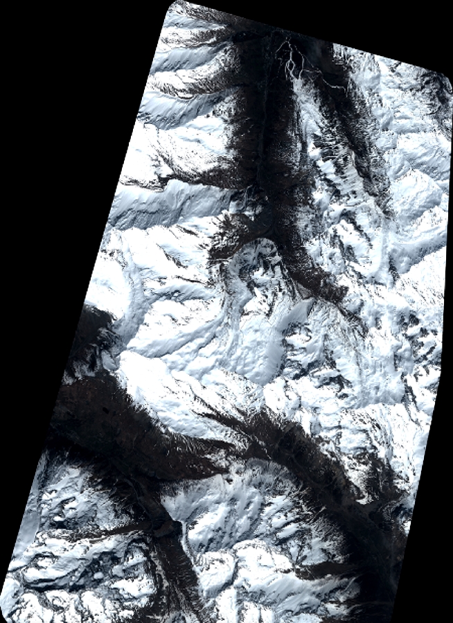
Quicklook
Copyright