TYPE:
SENSOR
LAYER:
DS_PHR1A_201905061036461_FR1_PX_E006N45_0808_01373
FORMAT:
DIMAP
RASTER:
image/jp2
General Information
Map Name
Geometric Processing Level
Radiometric Processing Level
BASIC
Image dimensions
Number of columns
17225
Number of rows
30274
Number of spectral bands
1
Dataset framing
Vertice
Longitude (DEG)
Latitude (DEG)
Row
Col
#1
6.586488930490293
45.36514983451509
#2
6.697366984718324
45.36503301925914
#3
6.697313023131226
45.22770606775259
#4
6.586556694045
45.22719568214548
Dataset sources
PHR
Coordinate Reference System
Projected Coordinate System
Geocoding tables identification
EPSG(6.3)
Production
Production Date
2019-05-09T14:56:50.151
Job identification
4094090101-002
Dataset Producer Identification
AIRBUS DS GEO
Producer link
http://www.geo-airbusds.com
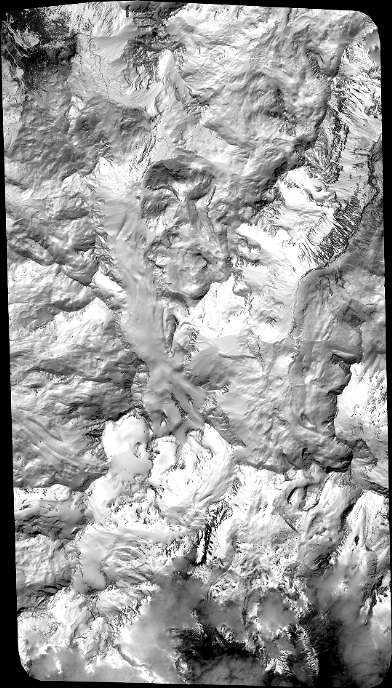
Quicklook
Copyright