TYPE:
SENSOR
LAYER:
DS_PHR1A_201905061036161_FR1_PX_E006N45_0808_01348
FORMAT:
DIMAP
RASTER:
image/jp2
General Information
Map Name
Geometric Processing Level
Radiometric Processing Level
BASIC
Image dimensions
Number of columns
17056
Number of rows
29860
Number of spectral bands
1
Dataset framing
Vertice
Longitude (DEG)
Latitude (DEG)
Row
Col
#1
6.586434907474189
45.36259885647177
#2
6.697038156343069
45.36367431397584
#3
6.696860056506156
45.22733375085374
#4
6.586955740855628
45.22690685726484
Dataset sources
PHR
Coordinate Reference System
Projected Coordinate System
Geocoding tables identification
EPSG(6.3)
Production
Production Date
2019-05-09T14:56:48.470
Job identification
4094090101-001
Dataset Producer Identification
AIRBUS DS GEO
Producer link
http://www.geo-airbusds.com
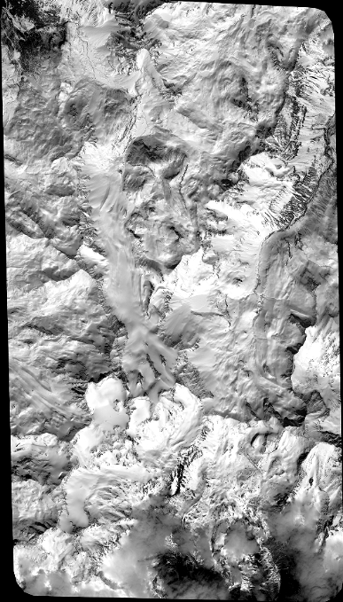
Quicklook
Copyright