TYPE:
SENSOR
LAYER:
DS_PHR1A_201905061036461_FR1_PX_E006N45_0808_01373
FORMAT:
DIMAP
RASTER:
image/jp2
General Information
Map Name
Geometric Processing Level
Radiometric Processing Level
BASIC
Image dimensions
Number of columns
4307
Number of rows
7569
Number of spectral bands
4
Dataset framing
Vertice
Longitude (DEG)
Latitude (DEG)
Row
Col
#1
6.5865049167922
45.36514687239205
1
#2
6.697383409382563
45.36503202860084
#3
6.697329281402472
45.22770888306433
#4
6.586572720744871
45.22719779114836
Dataset sources
PHR
Coordinate Reference System
Projected Coordinate System
Geocoding tables identification
EPSG(6.3)
Production
Production Date
2019-05-09T14:56:53.404
Job identification
4094090101-004
Dataset Producer Identification
AIRBUS DS GEO
Producer link
http://www.geo-airbusds.com
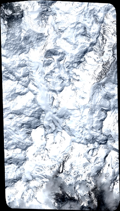
Quicklook
Copyright