TYPE:
SENSOR
LAYER:
DS_PHR1B_201904301033269_FR1_PX_E006N44_0523_01422
FORMAT:
DIMAP
RASTER:
image/jp2
General Information
Map Name
Geometric Processing Level
Radiometric Processing Level
BASIC
Image dimensions
Number of columns
7156
Number of rows
7862
Number of spectral bands
4
Dataset framing
Vertice
Longitude (DEG)
Latitude (DEG)
Row
Col
#1
6.296212427426583
45.01203354007114
1
#2
6.481059334972941
45.01109226493092
#3
6.480229523976582
44.8667879024539
#4
6.296403443583
44.86659603166071
Dataset sources
PHR
Coordinate Reference System
Projected Coordinate System
Geocoding tables identification
EPSG(6.3)
Production
Production Date
2019-04-30T17:32:13.714
Job identification
4059036101-004
Dataset Producer Identification
AIRBUS DS GEO
Producer link
http://www.geo-airbusds.com
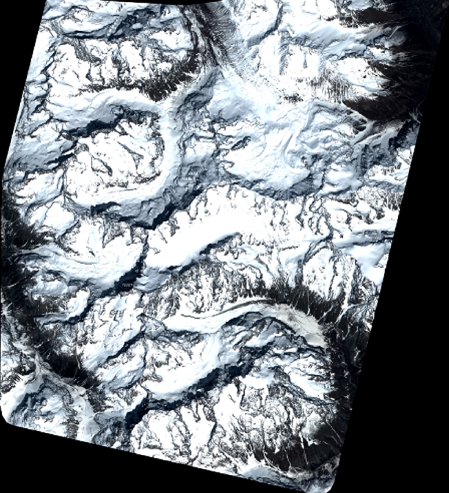
Quicklook
Copyright