TYPE:
SENSOR
LAYER:
DS_PHR1A_201904180636191_FR1_PX_E055S22_0422_02894
FORMAT:
DIMAP
RASTER:
image/jp2
General Information
Map Name
Geometric Processing Level
Radiometric Processing Level
BASIC
Image dimensions
Number of columns
36838
Number of rows
64591
Number of spectral bands
1
Dataset framing
Vertice
Longitude (DEG)
Latitude (DEG)
Row
Col
#1
55.19446975867378
-21.00648827850773
#2
55.37326968620236
-21.00554814414253
#3
55.37346397201728
-21.29877937765571
#4
55.19434914031113
-21.29898354752986
Dataset sources
PHR
Coordinate Reference System
Projected Coordinate System
Geocoding tables identification
EPSG(6.3)
Production
Production Date
2019-04-19T12:59:35.570
Job identification
4021497101-001
Dataset Producer Identification
AIRBUS DS GEO
Producer link
http://www.geo-airbusds.com
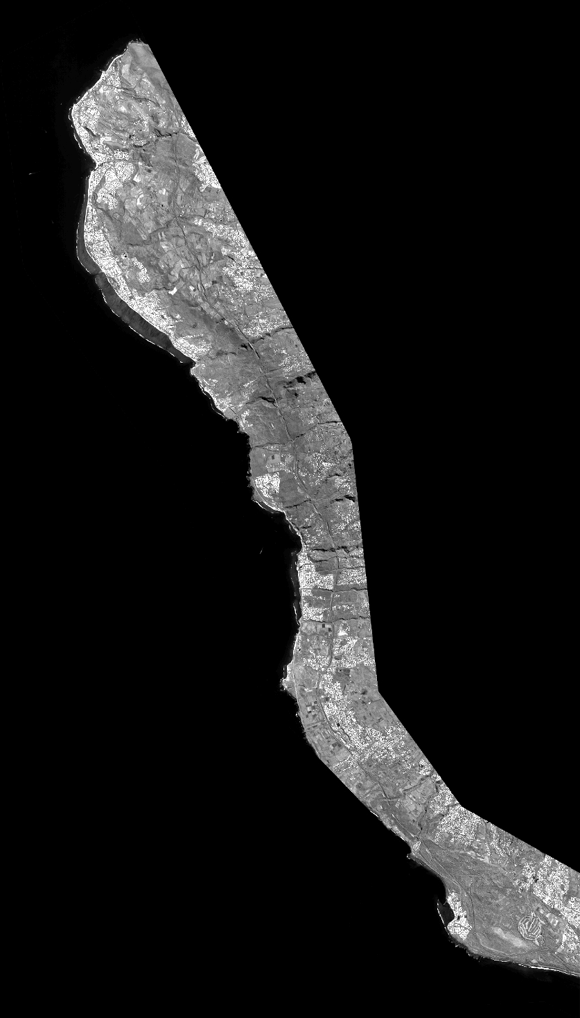
Quicklook
Copyright