TYPE:
SENSOR
LAYER:
DS_PHR1A_201904180636191_FR1_PX_E055S22_0422_02894
FORMAT:
DIMAP
RASTER:
image/jp2
General Information
Map Name
Geometric Processing Level
Radiometric Processing Level
BASIC
Image dimensions
Number of columns
9210
Number of rows
16148
Number of spectral bands
4
Dataset framing
Vertice
Longitude (DEG)
Latitude (DEG)
Row
Col
#1
55.19448189209903
-21.00649506163027
1
#2
55.37327695175773
-21.00555487520371
#3
55.37347126400728
-21.29877709996001
#4
55.19436130072397
-21.2989812722192
Dataset sources
PHR
Coordinate Reference System
Projected Coordinate System
Geocoding tables identification
EPSG(6.3)
Production
Production Date
2019-04-19T12:59:02.934
Job identification
4021497101-002
Dataset Producer Identification
AIRBUS DS GEO
Producer link
http://www.geo-airbusds.com
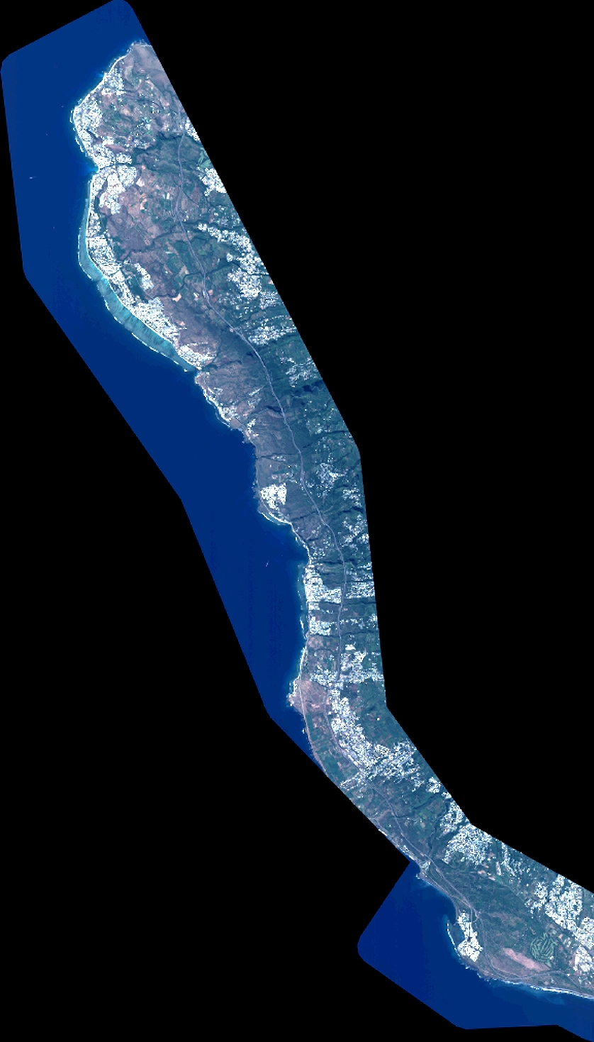
Quicklook
Copyright