TYPE:
SENSOR
LAYER:
DS_PHR1A_201904180636368_FR1_PX_E055S22_0623_01462
FORMAT:
DIMAP
RASTER:
image/jp2
General Information
Map Name
Geometric Processing Level
Radiometric Processing Level
BASIC
Image dimensions
Number of columns
39816
Number of rows
32368
Number of spectral bands
1
Dataset framing
Vertice
Longitude (DEG)
Latitude (DEG)
Row
Col
#1
55.34764132778421
-21.2453987981547
#2
55.5405770103252
-21.24547523023184
#3
55.54113472784601
-21.39099088948544
#4
55.34736743266939
-21.39101482509824
Dataset sources
PHR
Coordinate Reference System
Projected Coordinate System
Geocoding tables identification
EPSG(6.3)
Production
Production Date
2019-04-19T12:57:10.525
Job identification
4021496101-001
Dataset Producer Identification
AIRBUS DS GEO
Producer link
http://www.geo-airbusds.com
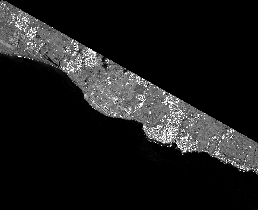
Quicklook
Copyright