TYPE:
SENSOR
LAYER:
DS_PHR1A_201904180636368_FR1_PX_E055S22_0623_01462
FORMAT:
DIMAP
RASTER:
image/jp2
General Information
Map Name
Geometric Processing Level
Radiometric Processing Level
BASIC
Image dimensions
Number of columns
9955
Number of rows
8092
Number of spectral bands
4
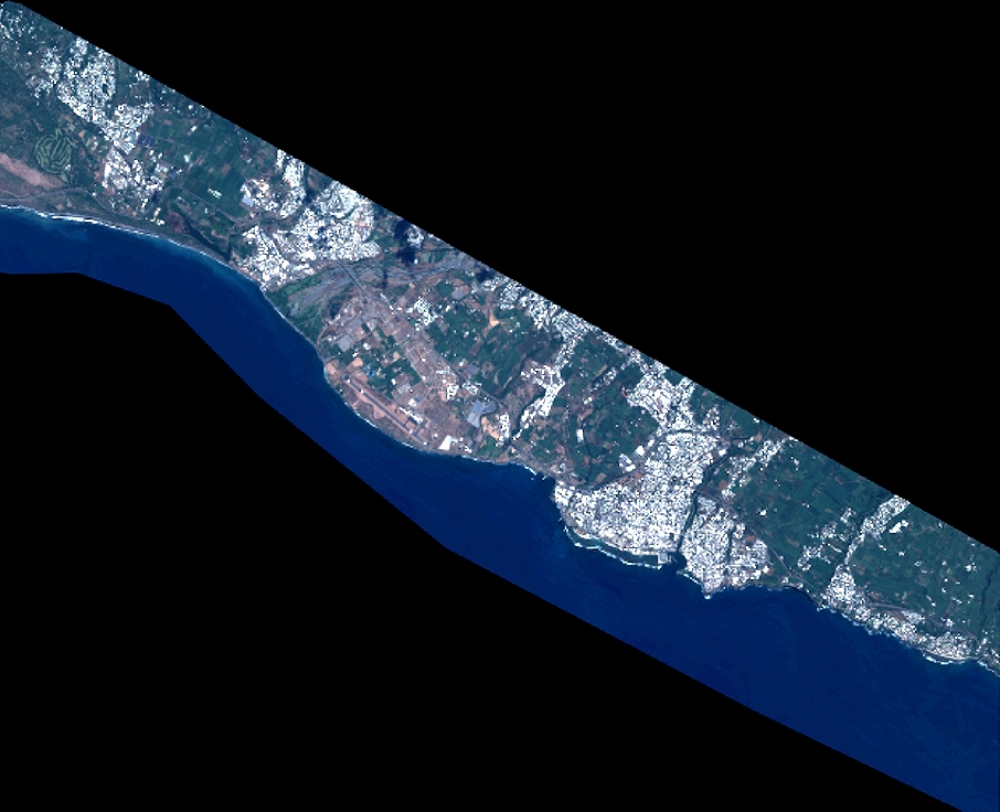
Dataset framing
Vertice
Longitude (DEG)
Latitude (DEG)
Row
Col
#1
55.34764863918771
-21.24540547376746
1
#2
55.54058914683373
-21.24548197450364
#3
55.54114691498792
-21.39098411610417
#4
55.34737473888459
-21.39100807260848
Dataset sources
PHR
Coordinate Reference System
Projected Coordinate System
Geocoding tables identification
EPSG(6.3)
Production
Production Date
2019-04-19T12:57:06.755
Job identification
4021496101-002
Dataset Producer Identification
AIRBUS DS GEO
Producer link
http://www.geo-airbusds.com
Quicklook
Copyright